Geo Wings Engineering: Your Partner in Infrastructure Development
Key Features of Our Services
Explore the distinctive features that set our engineering consultancy apart from the competition, focusing on quality, innovation, and client satisfaction.
Our Services
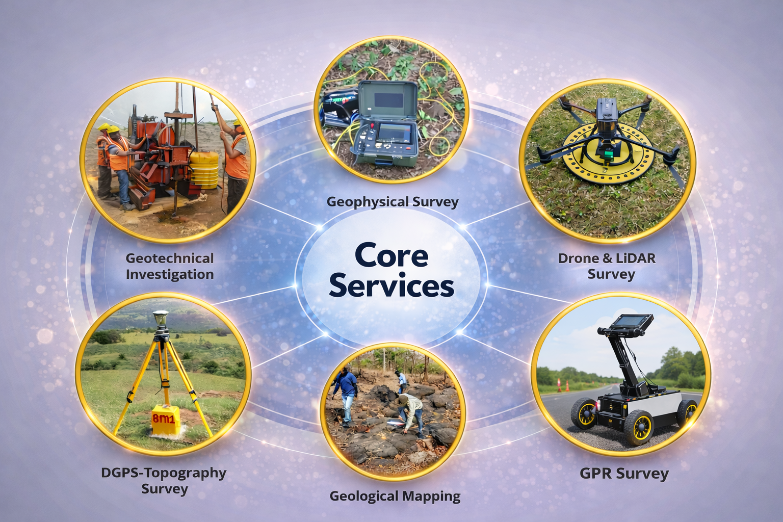
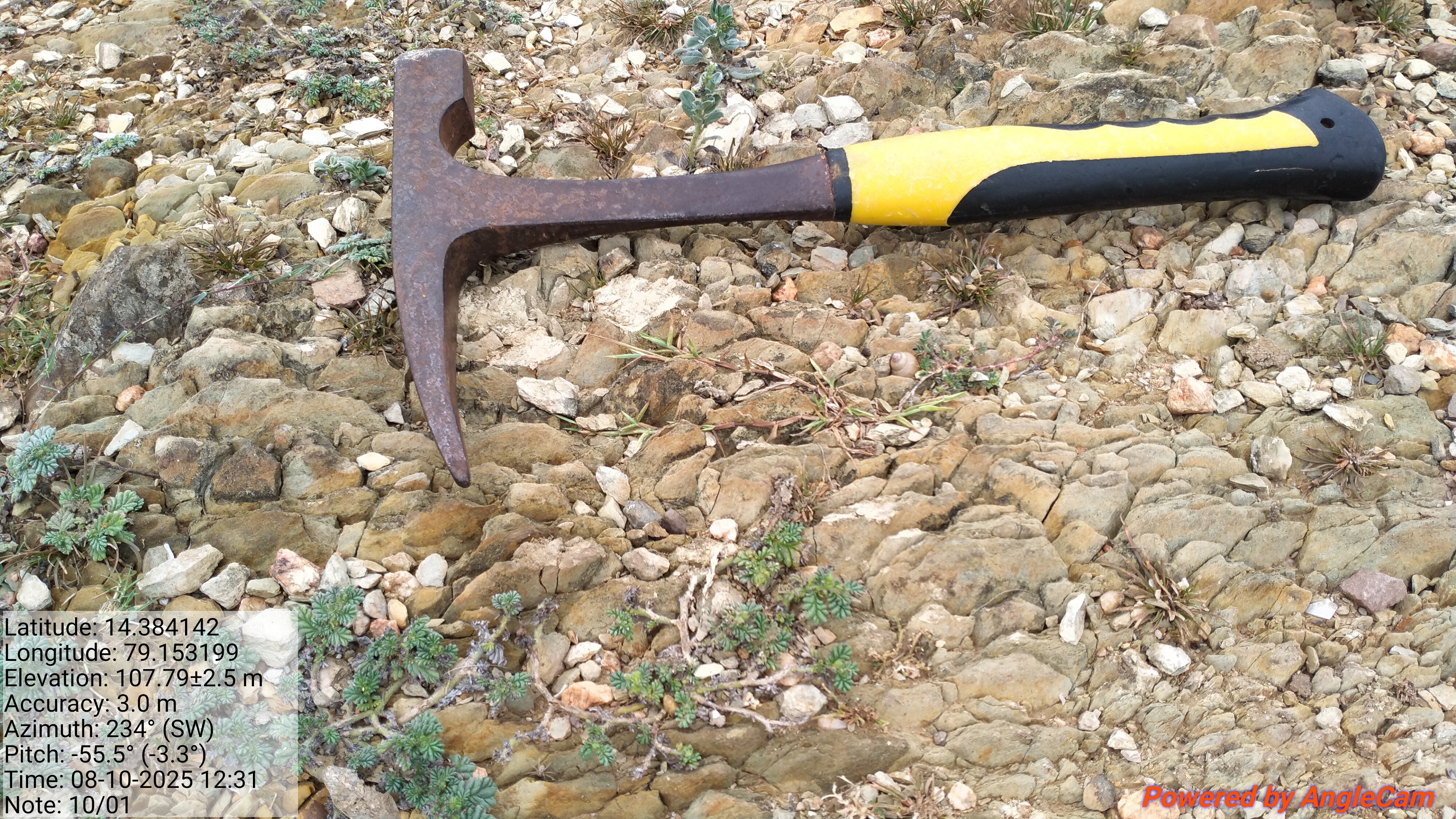
Geological Survey
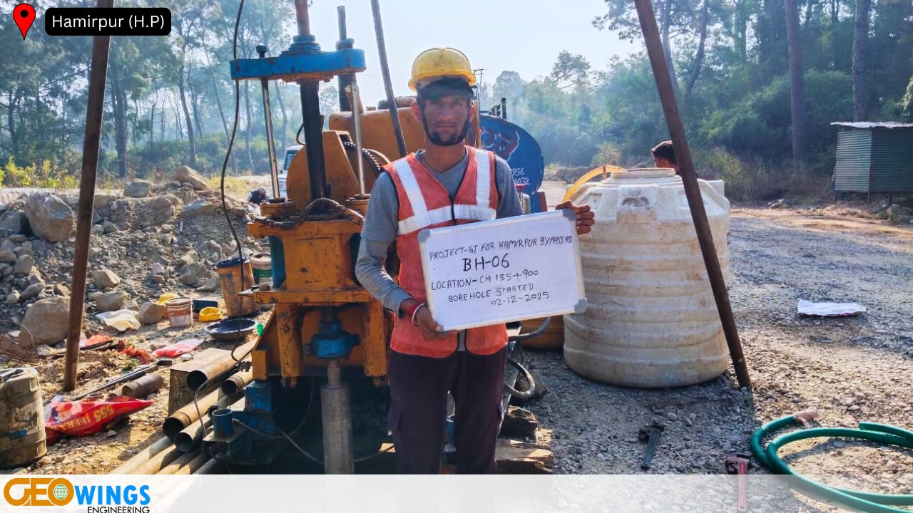
Geotechnical investigation
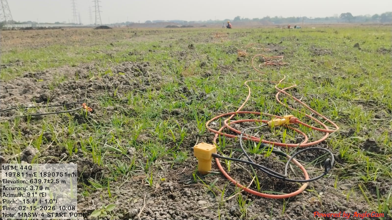
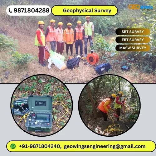
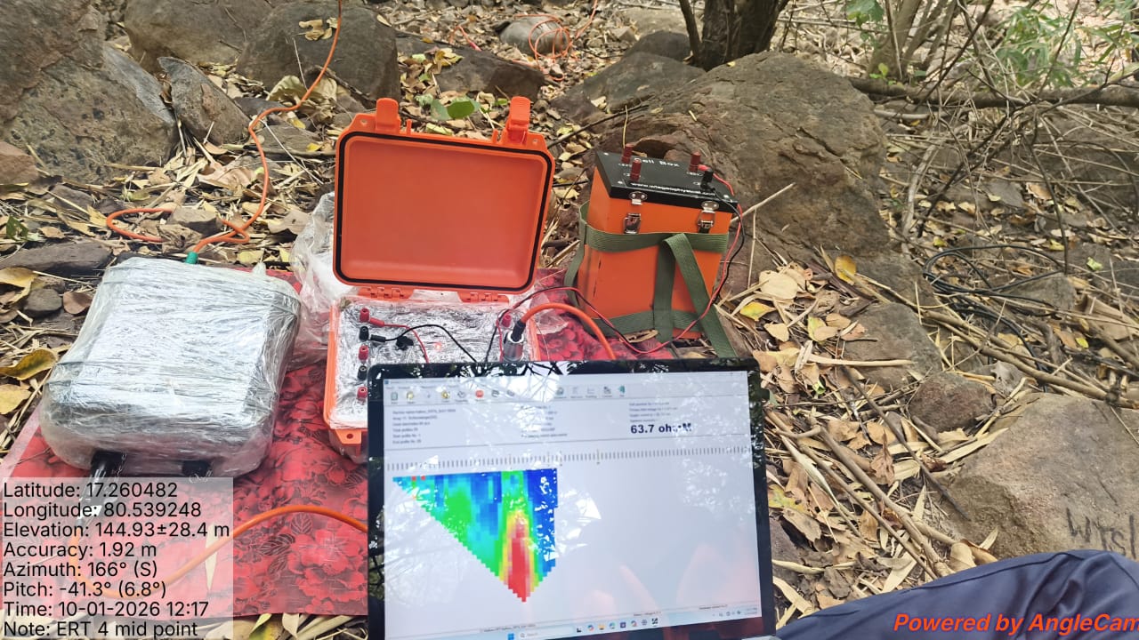
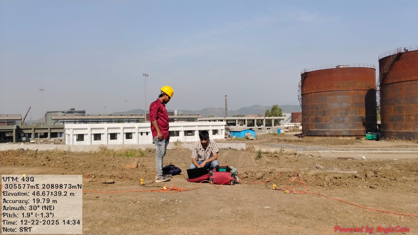
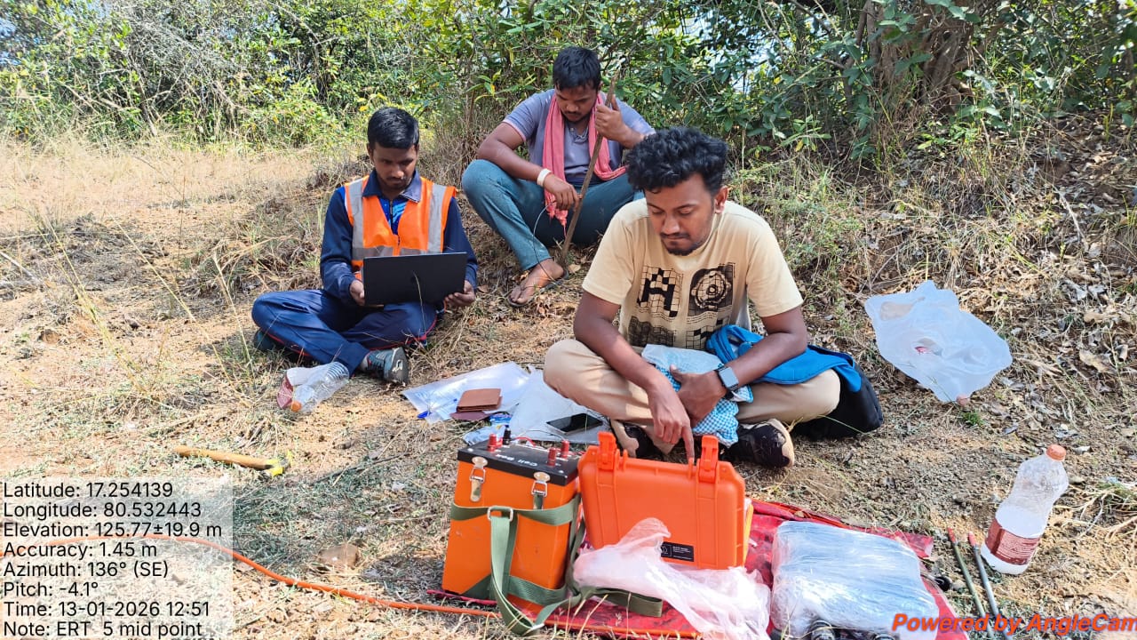
Geophysical Surveys
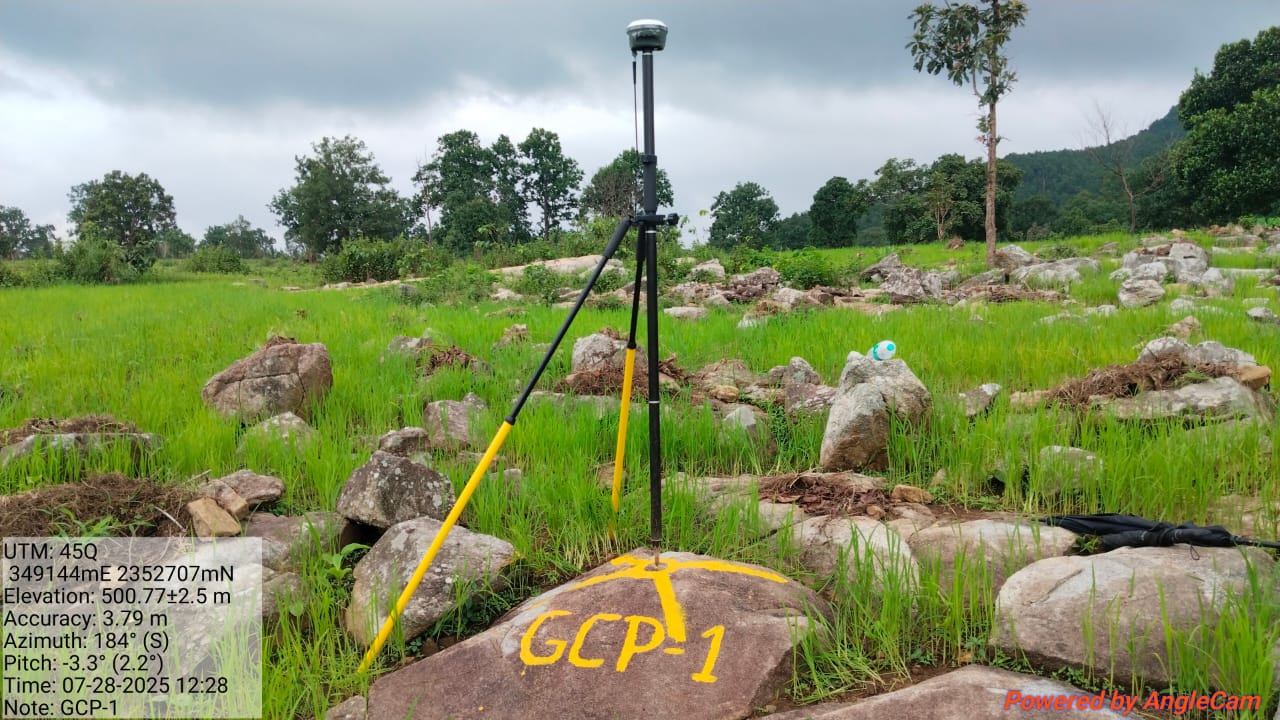
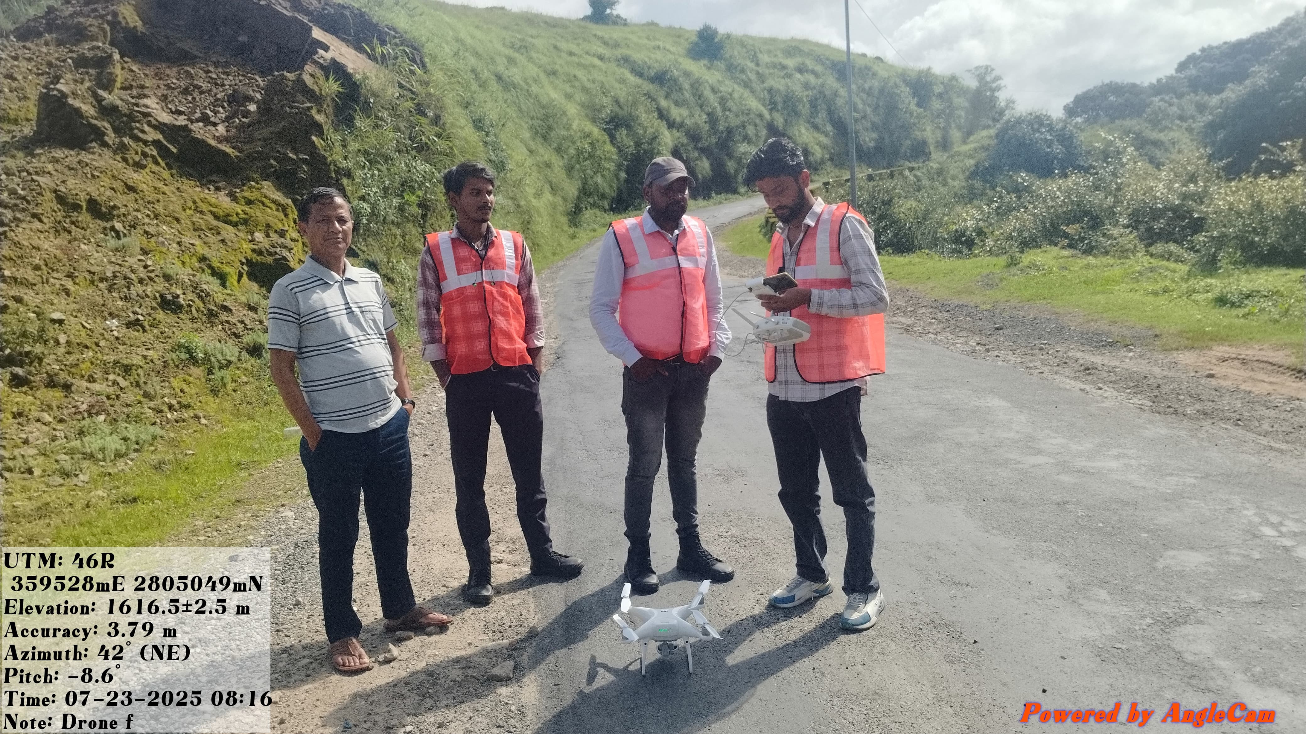
DGPS Topographical Survey
MASW - Multichannel analysis of surface wave
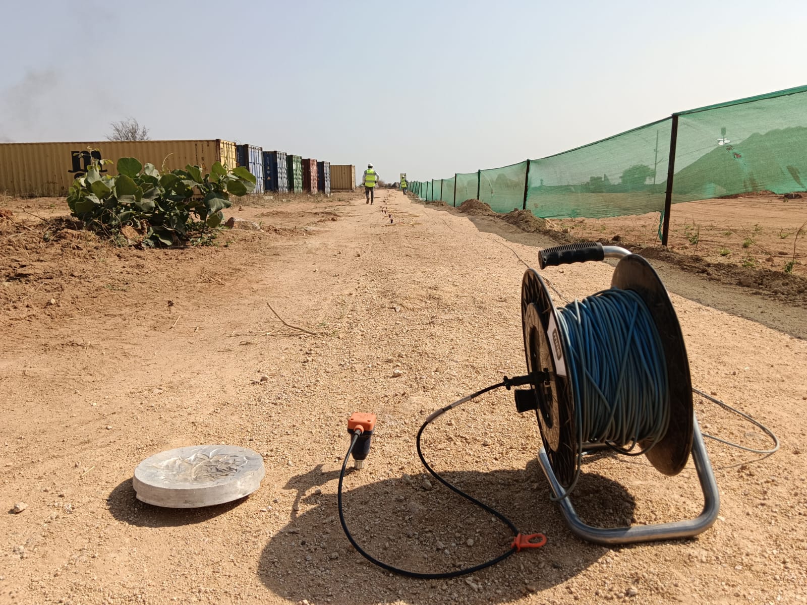
Electrical resistivity survey
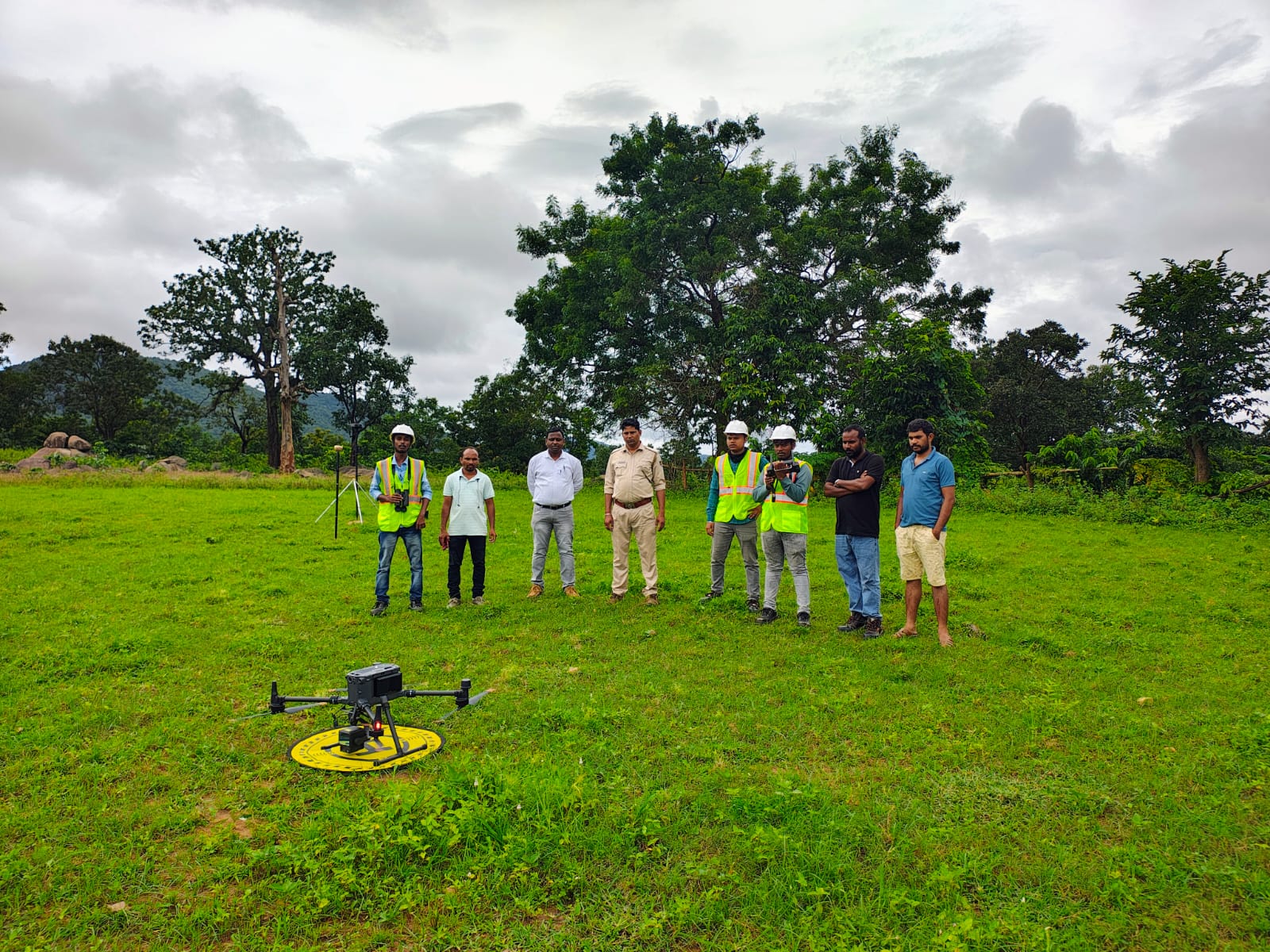
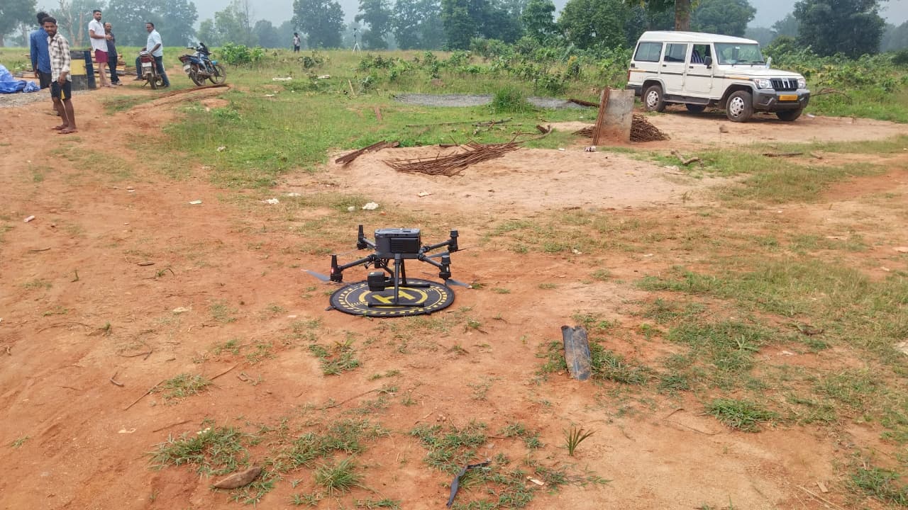
Drone Photogrammetry survey
LiDAR survey
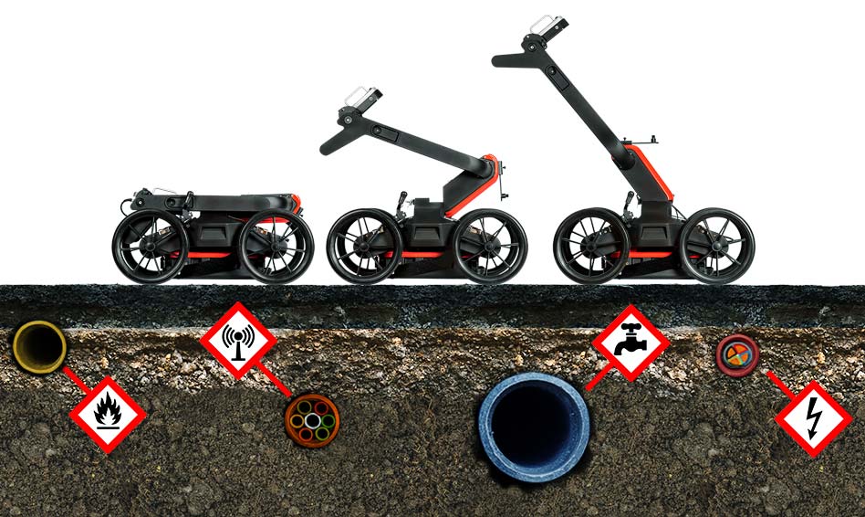
gPR Survey
Our Portfolio