
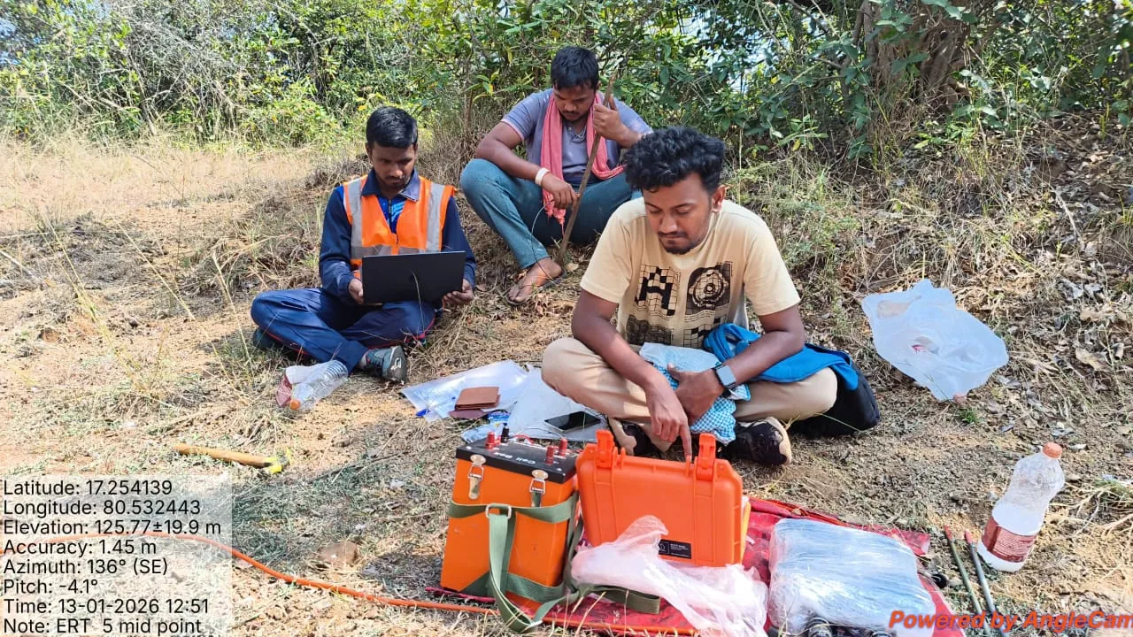
Insights from the field.
News, project stories and practical guides on geotechnical engineering, surveying and geophysics.
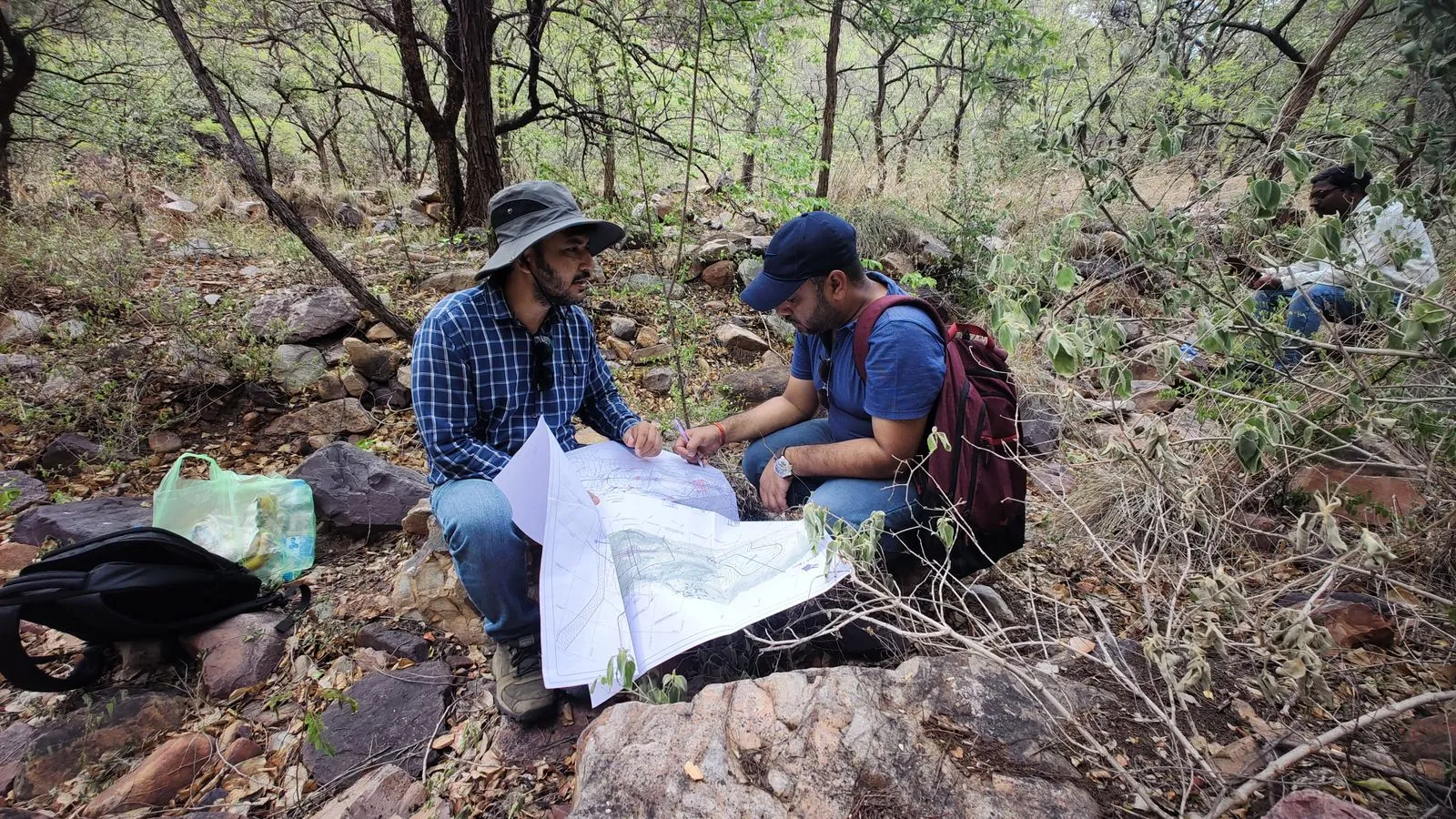
Rock Mass Rating (RMR) and Q System Explained
What rock mass rating is, how RMR and the Q system are calculated, the rock classes they give, and how they are used for tunnels and slopes.
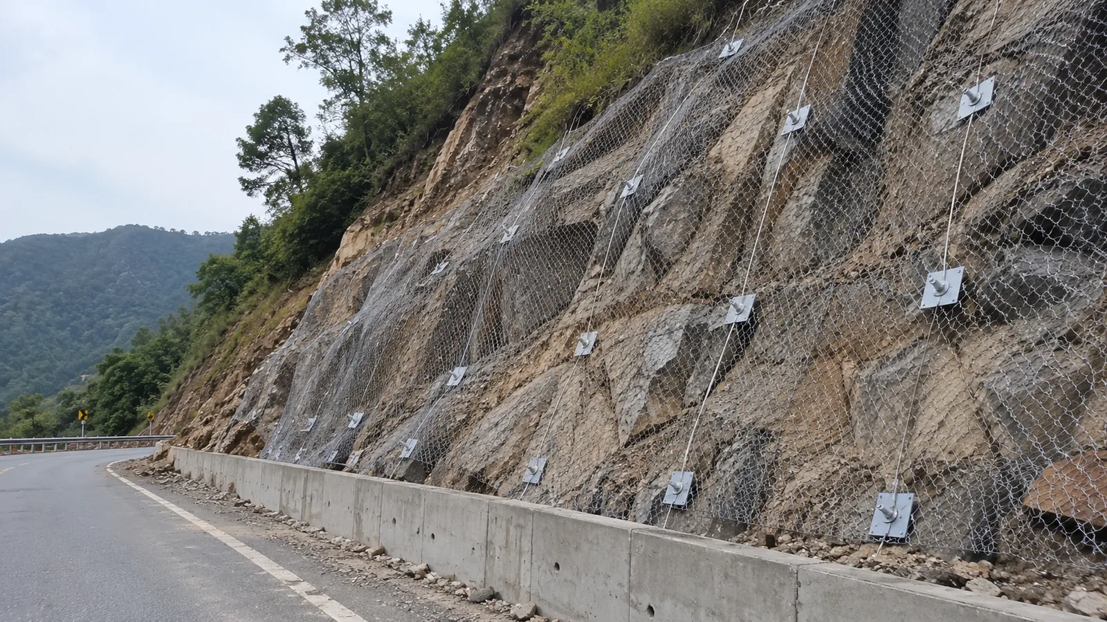
Landslide Investigation and Slope Stability Analysis Guide
How a landslide is investigated: mapping, drilling, geophysics and slope stability analysis, and how the results lead to lasting protection measures.
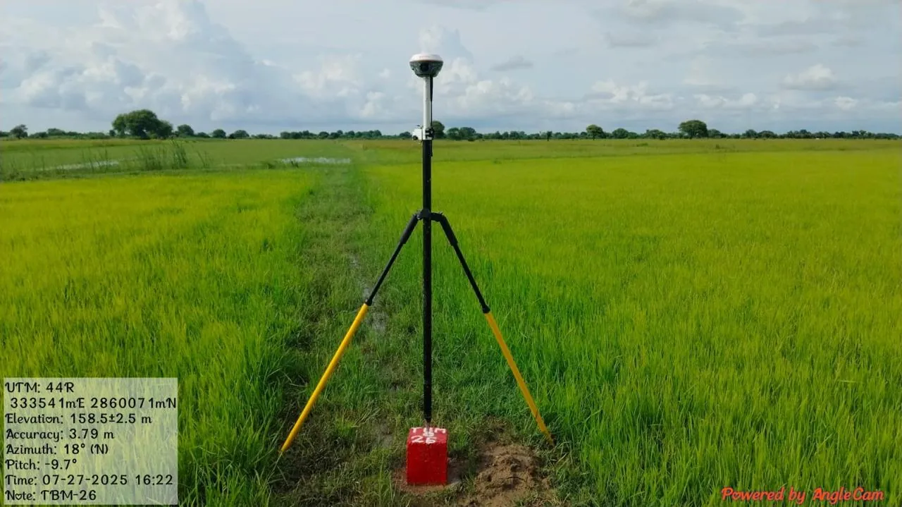
Topographical Survey: Methods, Accuracy and Deliverables
How a topographical survey is done with total station, RTK GNSS, DGPS and drones, how to choose a method, and what the final drawing should include.
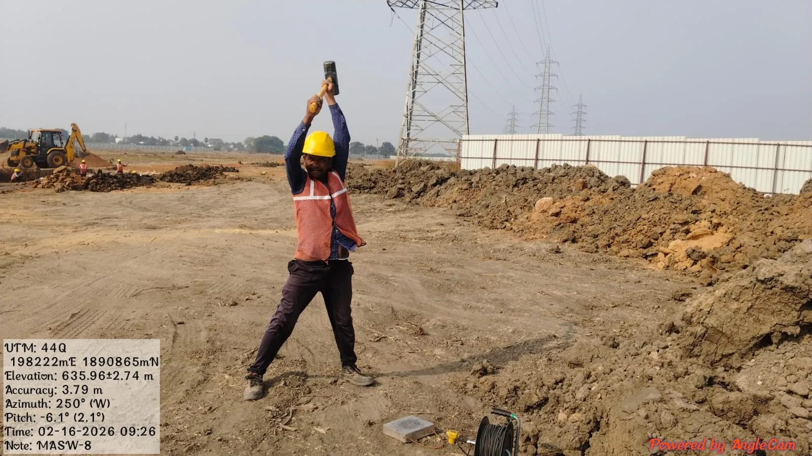
Seismic Refraction Survey (SRT): Method, Uses and Limits
How a seismic refraction survey works, what it tells you about depth to rock and rippability, its limitations and how it compares with MASW and ERT.
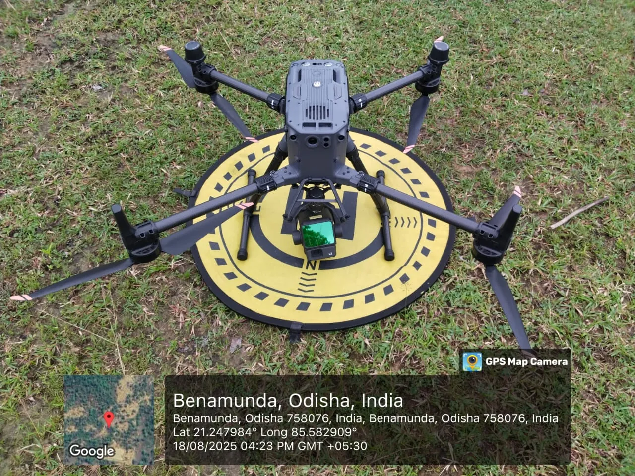
DEM vs DTM vs DSM: Differences in Drone and LiDAR Surveys
DEM, DTM and DSM explained simply, which one your project needs, and how LiDAR and drone photogrammetry produce them.
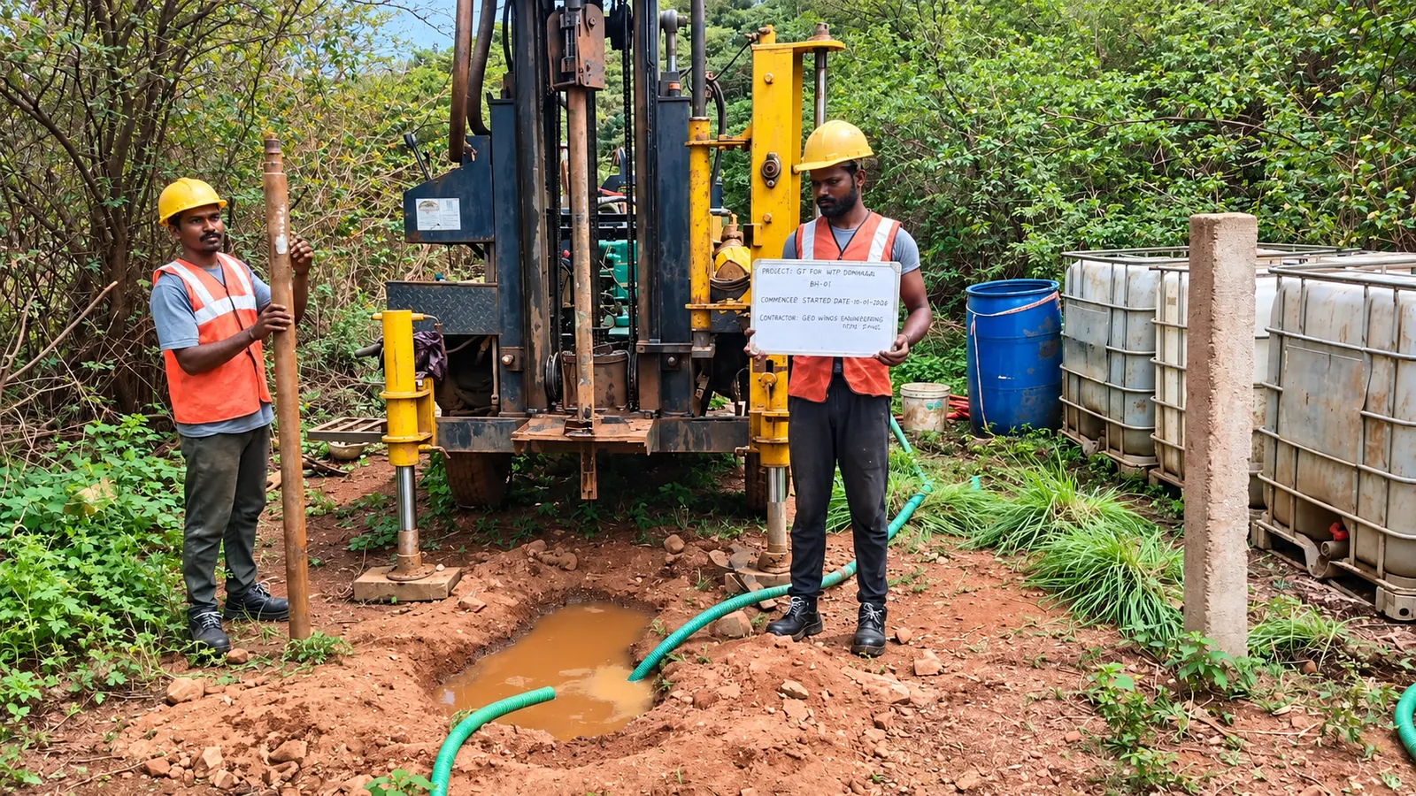
Safe Bearing Capacity of Soil: Meaning, Values and Tests
What safe bearing capacity of soil means, ultimate vs net vs allowable, indicative values, and how it is found by testing rather than guessed.

Plate Load Test: Procedure and Bearing Capacity (IS 1888)
How a plate load test is done under IS 1888, how to read the load-settlement curve, and where the test helps or misleads in foundation design.
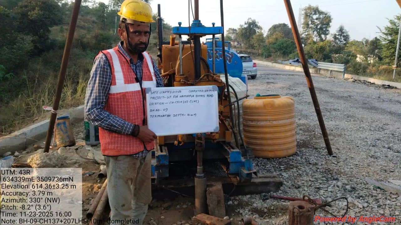
SPT Test: Procedure, N-Value and Corrections (IS 2131)
The standard penetration test explained: IS 2131 procedure, how the N-value is counted, overburden and dilatancy corrections, and how engineers use it.
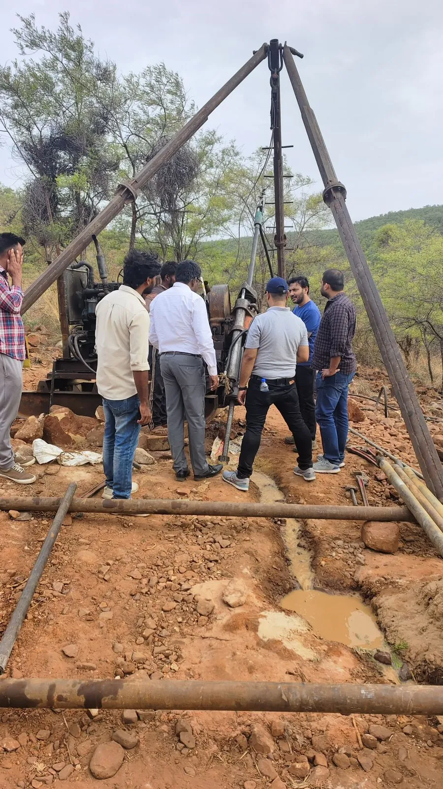
Geotechnical Investigation: Process, IS Codes and Report
What a geotechnical investigation covers, step by step: planning, boreholes, field and lab tests, IS codes and what the final report should tell you.
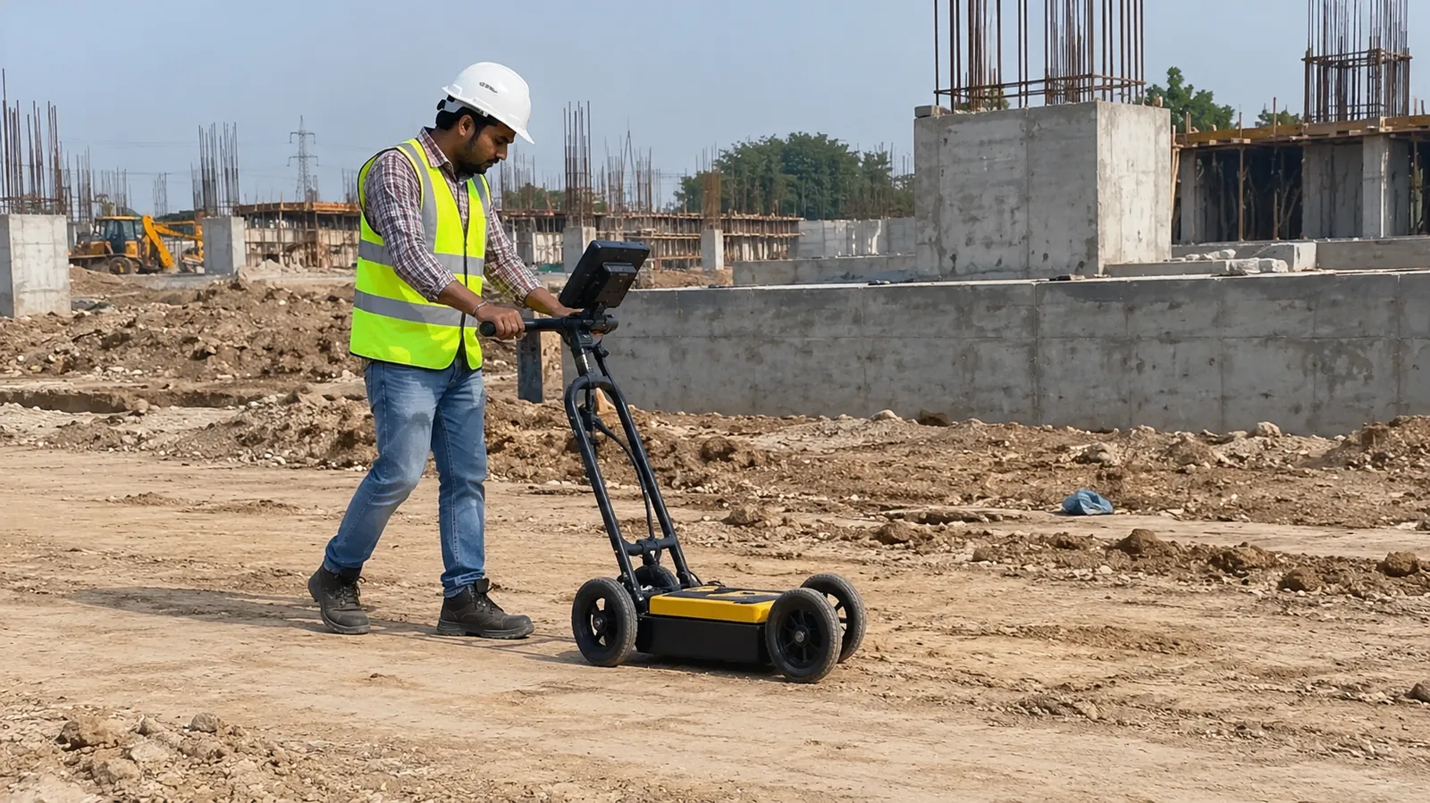
GPR Survey: How Ground Penetrating Radar Finds Underground Utilities, Voids and Rebar
Ground penetrating radar maps buried pipes, cables, voids and reinforcement without digging. How a GPR survey works, its limits and when you need one.
LiDAR Drone Survey vs Total Station and DGPS: Accuracy, Cost and When to Use Each
Drone LiDAR, photogrammetry, total station or DGPS? A practical comparison of accuracy, speed, cost drivers and deliverables for topographic and corridor surveys.
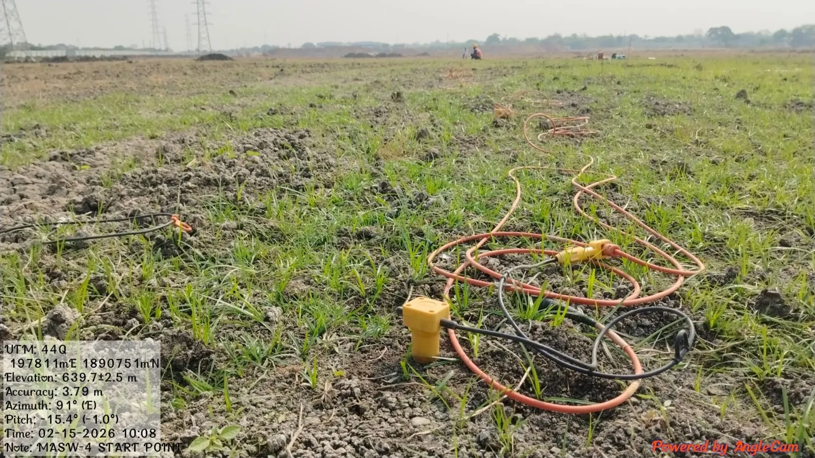
MASW Test: Procedure, Shear Wave Velocity (Vs30) and Seismic Site Classification
MASW measures shear wave velocity, the stiffness value seismic design depends on. Here is how the test is done in the field and how the results are used.
ERT Survey: How Electrical Resistivity Tomography Finds Groundwater, Rock and Weak Zones
Electrical resistivity tomography maps the ground as a continuous 2D or 3D section. Here is how an ERT survey works, where it helps and what the report shows.
Soil Testing for Building Construction: Tests, IS Codes, Cost Factors and the Report
Which soil tests a building actually needs, how a borehole investigation works, what affects the cost and how to read the geotechnical investigation report.