
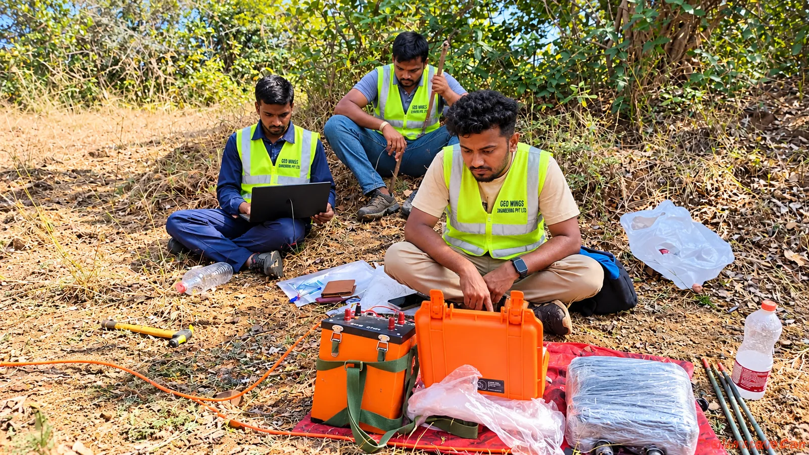
Geophysical Survey that you can build on.
Geophysics lets us see beneath the surface without digging. By measuring how the ground conducts electricity and transmits seismic waves, we map bedrock, weak zones, water and cavities across an entire site, quickly and non-invasively.
Our field teams deploy modern multi-electrode resistivity systems and multi-channel seismographs, and process data with industry-standard inversion software. We combine methods where needed and calibrate interpretations against borehole data for confident results.
Scope of services
Where it’s used
Bedrock profiling
Depth to rock and overburden thickness along alignments and sites.
Groundwater exploration
Locating aquifers and recommending borewell points.
Tunnels & dam sites
Detecting shear zones, weak rock and fractures ahead of construction.
Seismic site classification
Shear-wave velocity profiles and Vs30 for structural design.
What you receive
- 2D / pseudo-3D resistivity sections
- Seismic velocity models & layer interpretation
- Shear-wave velocity (Vs) profiles and Vs30
- Interpreted geological cross-sections
- Comprehensive geophysical investigation report
Geophysical survey questions.
ERT suits soil, weathered rock and water-bearing zones. Seismic refraction suits depth to rock and rippability. MASW gives shear wave velocity for seismic design. Many sites combine methods.
No. Geophysics covers the ground between boreholes quickly, while boreholes give samples and direct measurements. Used together they give a more reliable ground model at a lower overall risk.
Processed sections or profiles, an interpreted ground model and a report explaining what the results mean for your design.
Need geophysical survey for your project?
Tell us about your site and requirements. We’ll recommend the right approach and send a detailed proposal.
Request a Free Consultation