
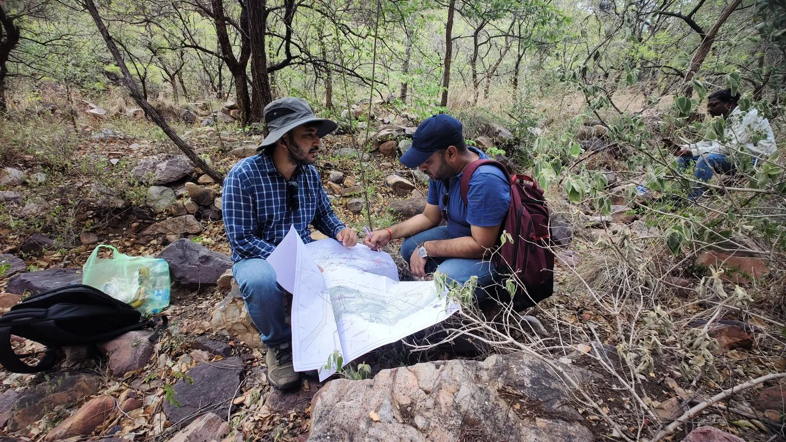
Geological Mapping that you can build on.
Understanding the rock and its structure is essential for tunnels, slopes, dams and foundations. Our geologists map outcrops and discontinuities in the field and classify the rock mass to support safe, economical design.
We combine detailed field traverses with structural data analysis and established rock-mass classification systems. The result is a clear geological picture of your site, presented as maps, sections and engineering recommendations.
Scope of services
Where it’s used
Tunnels & underground works
Rock classification and support recommendations.
Dams & barrages
Foundation and reservoir-rim geology.
Hill roads & slopes
Structural mapping for cut-slope design.
Site selection
Comparing alternative sites and alignments.
What you receive
- Geological maps at project scale
- Interpreted geological cross-sections
- RMR / Q-value assessments
- Stereonet & discontinuity analysis
- Engineering geology report
Geological mapping questions.
It is commonly used for tunnels, dams, hill roads, slopes, quarries and hydropower projects, where rock type and structure control design and risk.
Both rate rock mass quality for engineering design. RMR adds points for six parameters. The Q system combines six parameters in a formula and is widely used for tunnel support.
Geological maps and sections, structural data, rock mass ratings and engineering recommendations.
Need geological mapping for your project?
Tell us about your site and requirements. We’ll recommend the right approach and send a detailed proposal.
Request a Free Consultation