
Insights from the field.
News, project stories and practical guides on geotechnical engineering, surveying and geophysics.
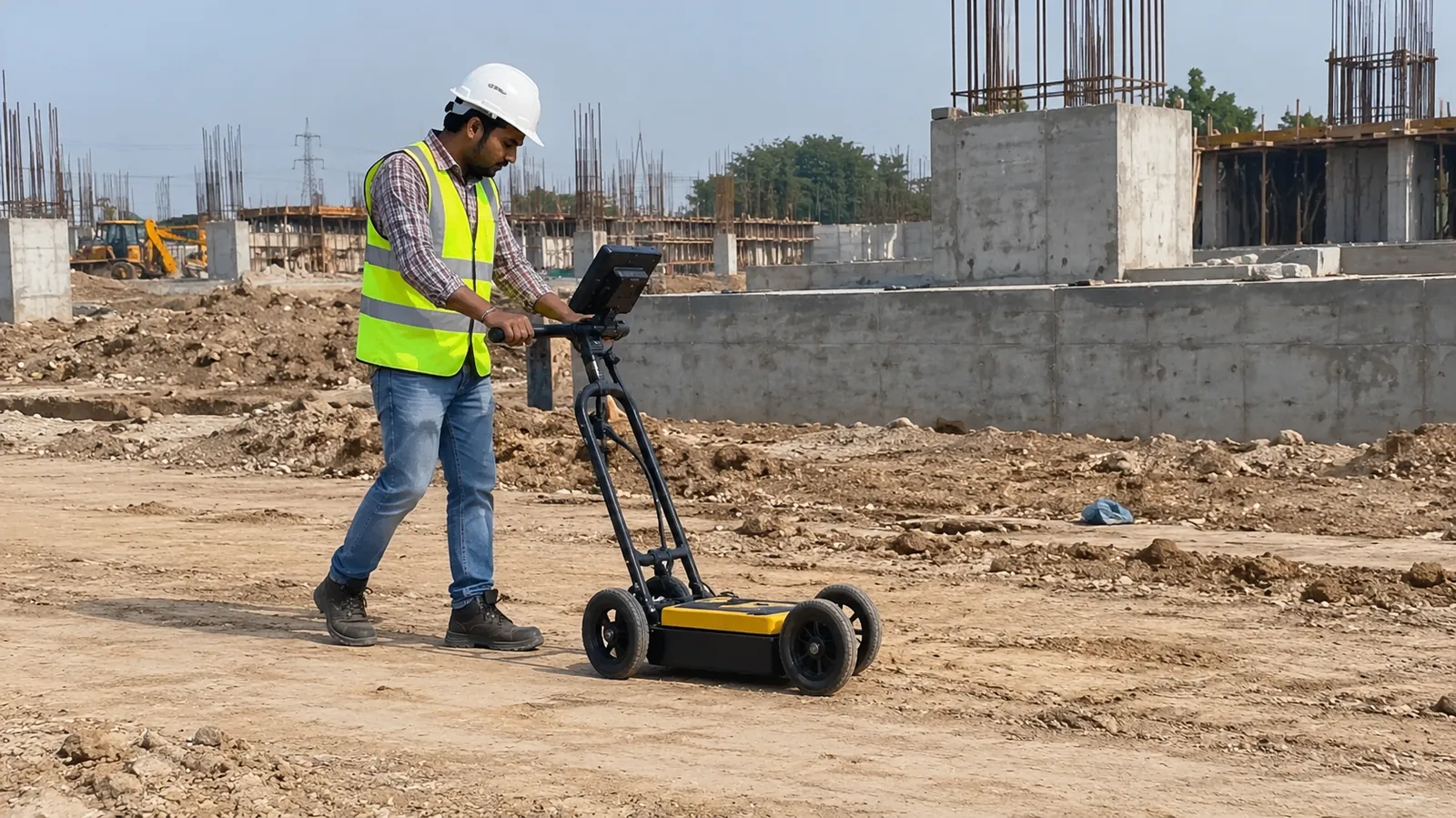
GPR Survey: How Ground Penetrating Radar Finds Underground Utilities, Voids and Rebar
Ground penetrating radar maps buried pipes, cables, voids and reinforcement without digging. How a GPR survey works, its limits and when you need one.
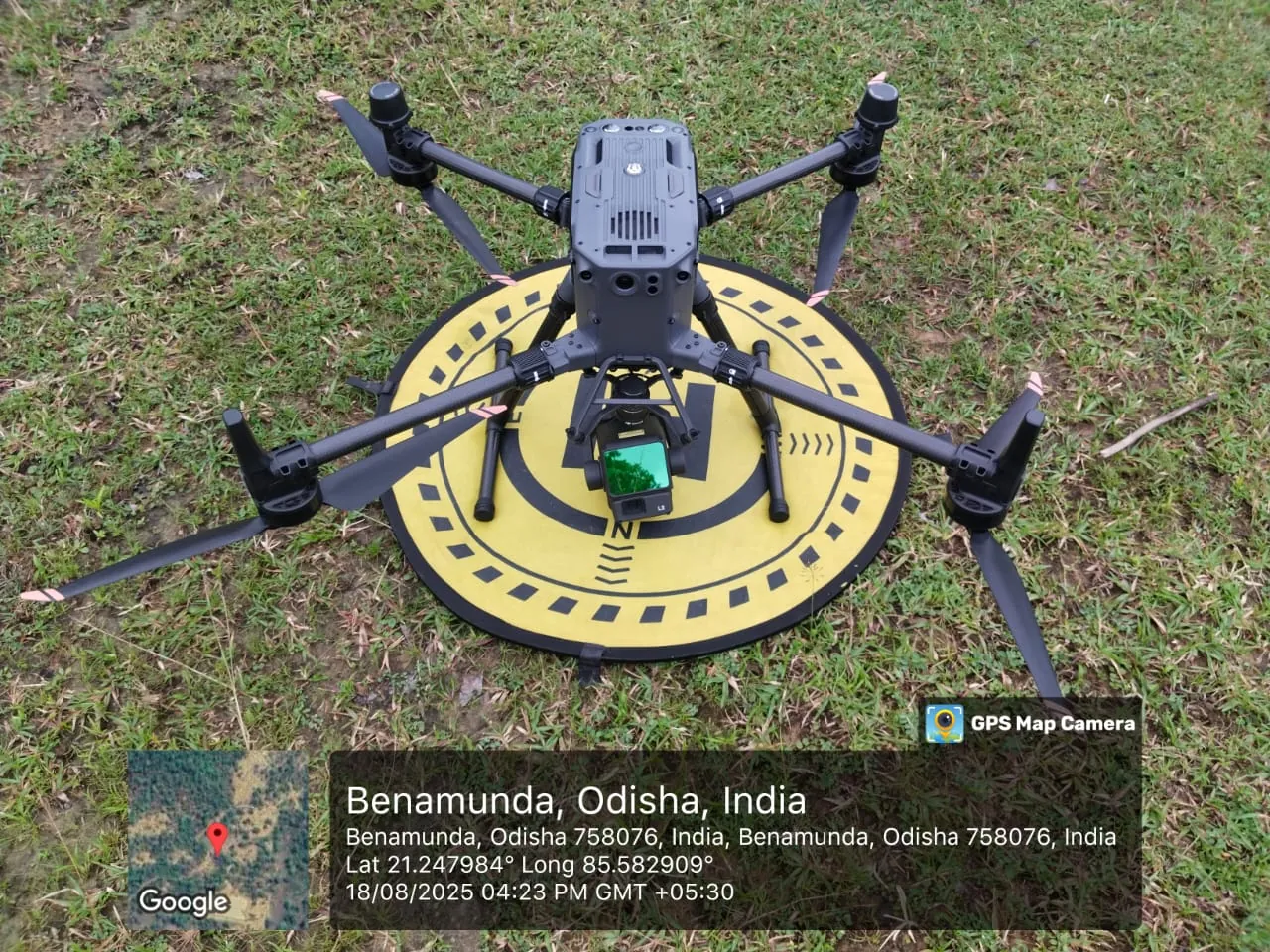
LiDAR Drone Survey vs Total Station and DGPS: Accuracy, Cost and When to Use Each
Drone LiDAR, photogrammetry, total station or DGPS? A practical comparison of accuracy, speed, cost drivers and deliverables for topographic and corridor surveys.
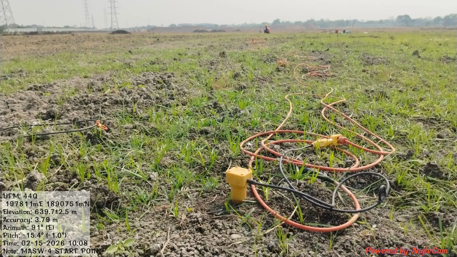
MASW Test: Procedure, Shear Wave Velocity (Vs30) and Seismic Site Classification
MASW measures shear wave velocity, the stiffness value seismic design depends on. Here is how the test is done in the field and how the results are used.
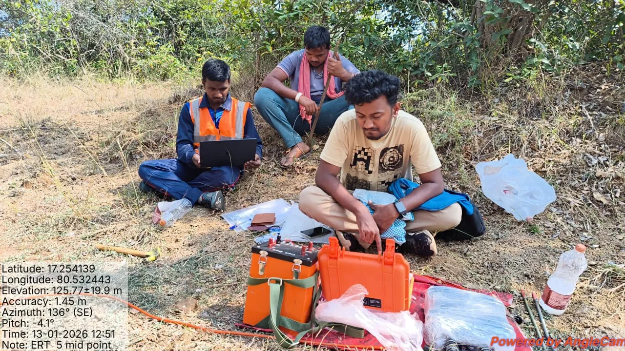
ERT Survey: How Electrical Resistivity Tomography Finds Groundwater, Rock and Weak Zones
Electrical resistivity tomography maps the ground as a continuous 2D or 3D section. Here is how an ERT survey works, where it helps and what the report shows.
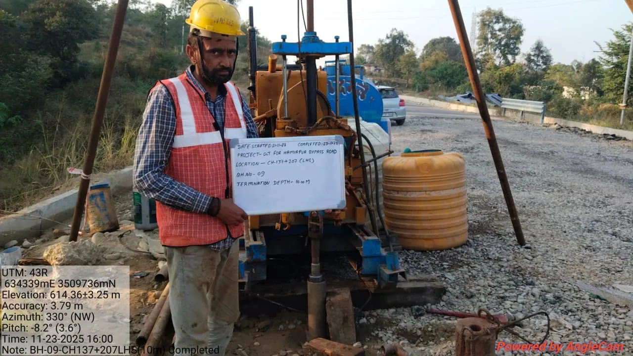
Soil Testing for Building Construction: Tests, IS Codes, Cost Factors and the Report
Which soil tests a building actually needs, how a borehole investigation works, what affects the cost and how to read the geotechnical investigation report.