Initial Consultation
We begin with an in-depth discussion and, where needed, a site visit to understand your project requirements, constraints and objectives.
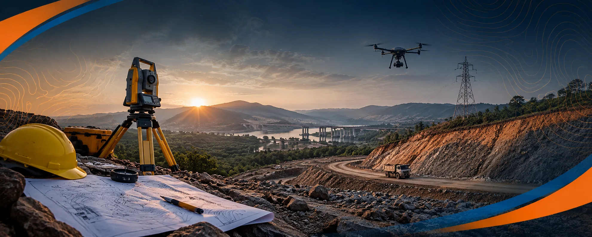
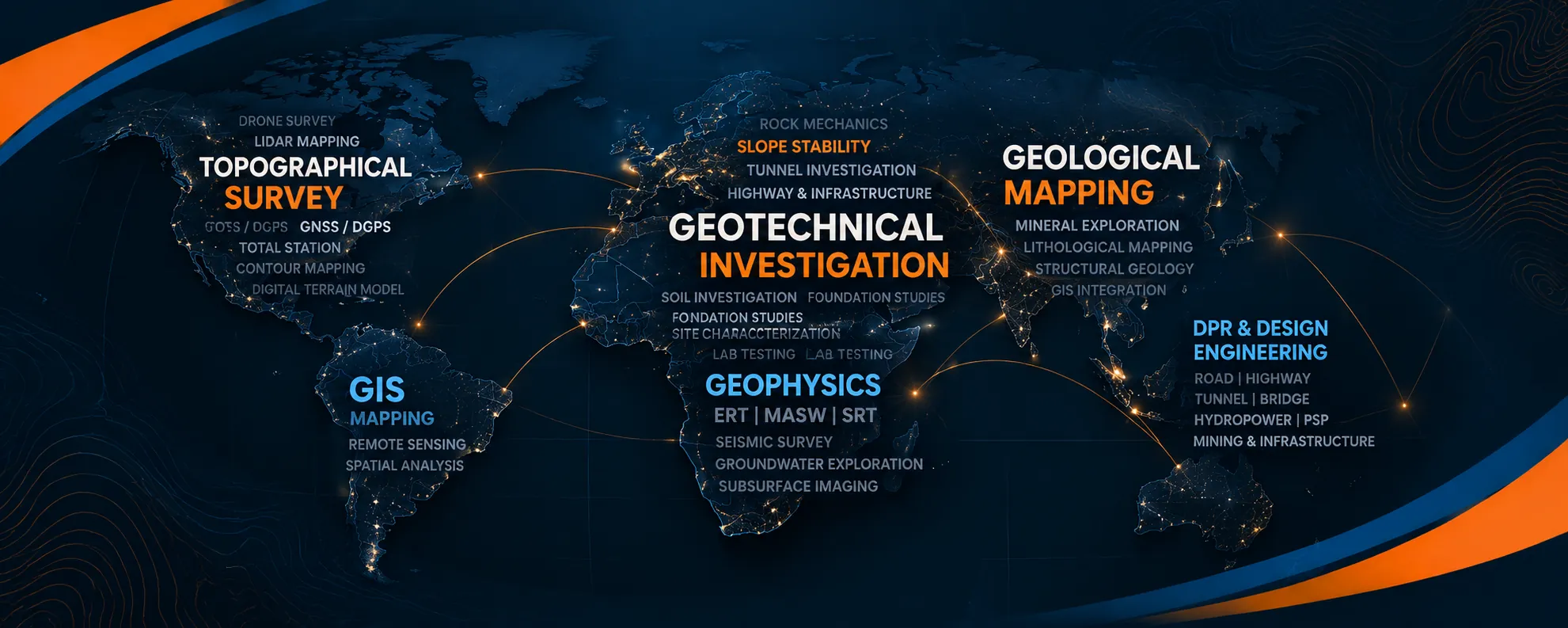
Advanced consultancy for geo-engineering & infrastructure solutions. Geology, geophysics, surveying, LiDAR and drone operations for high-profile projects across India.
Geo Wings Engineering combines geology, geophysics, precision surveying and drone LiDAR into one integrated team, so engineers and decision-makers can design with confidence, build safely and avoid costly surprises underground.
Nine specialised services that take your project from first site visit to final design, delivered by one accountable team.
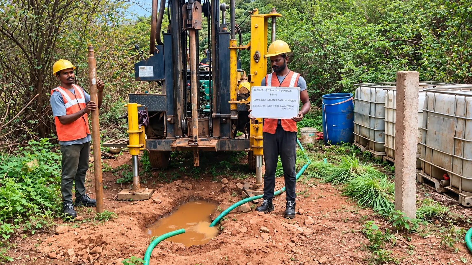
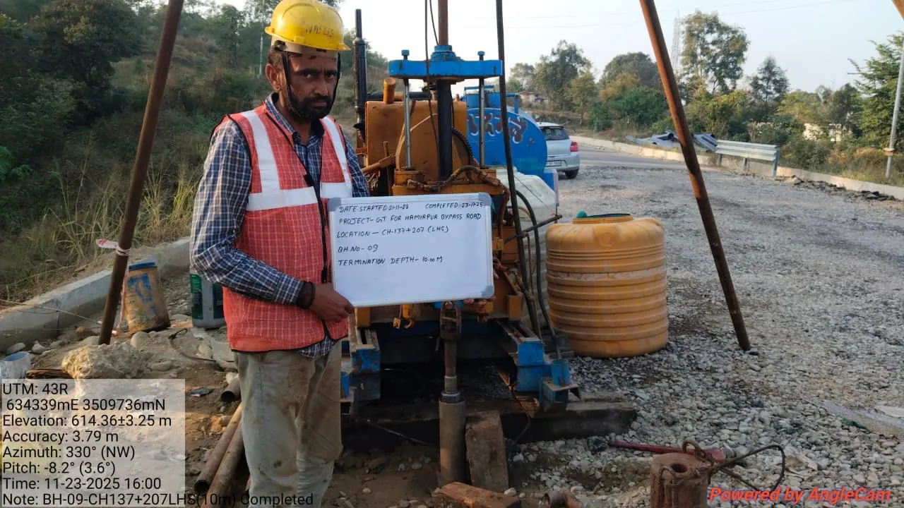
Shallow and deep borehole investigations, SPT, CPT, soil and rock sampling, laboratory testing and groundwater assessment.
Explore service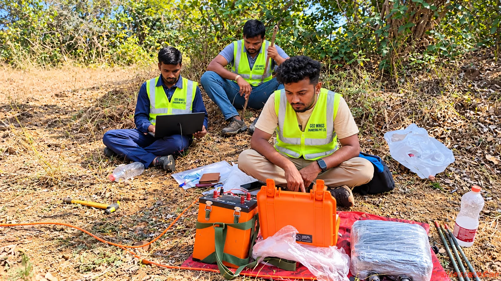
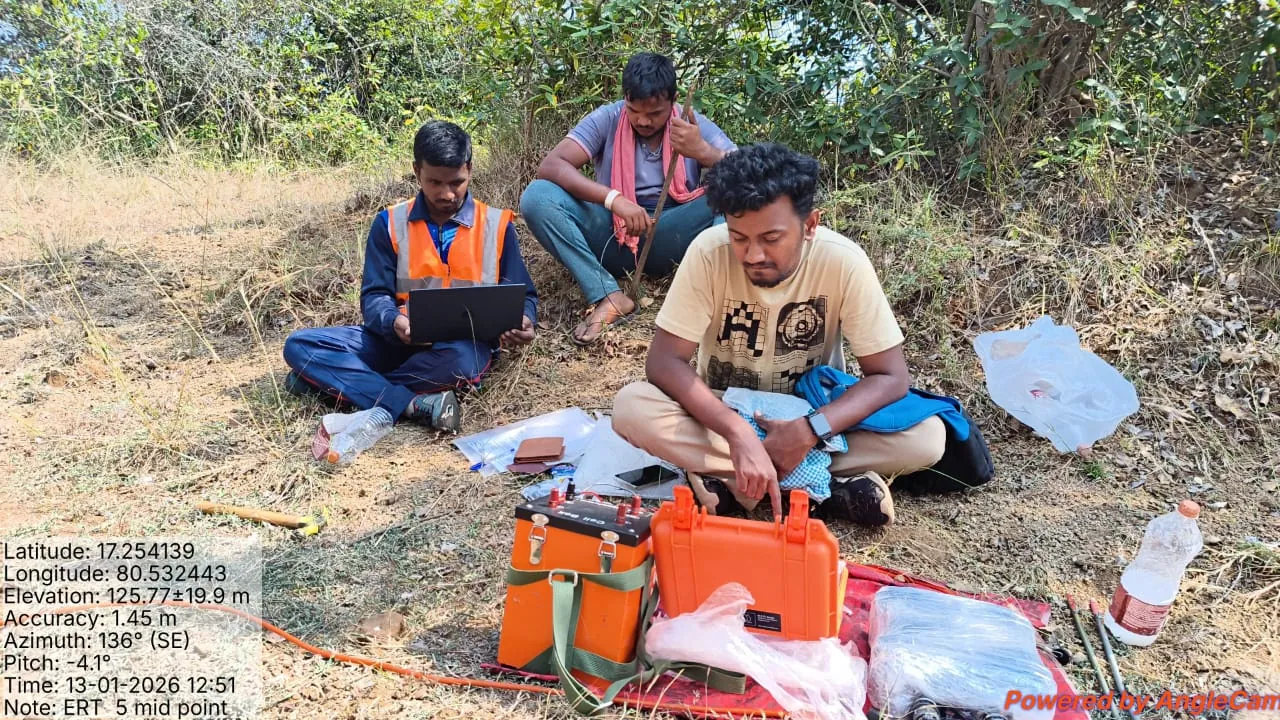
Advanced geophysical investigations using ERT, SRT, MASW, seismic refraction, crosshole, downhole, VES and magnetic surveys.
Explore service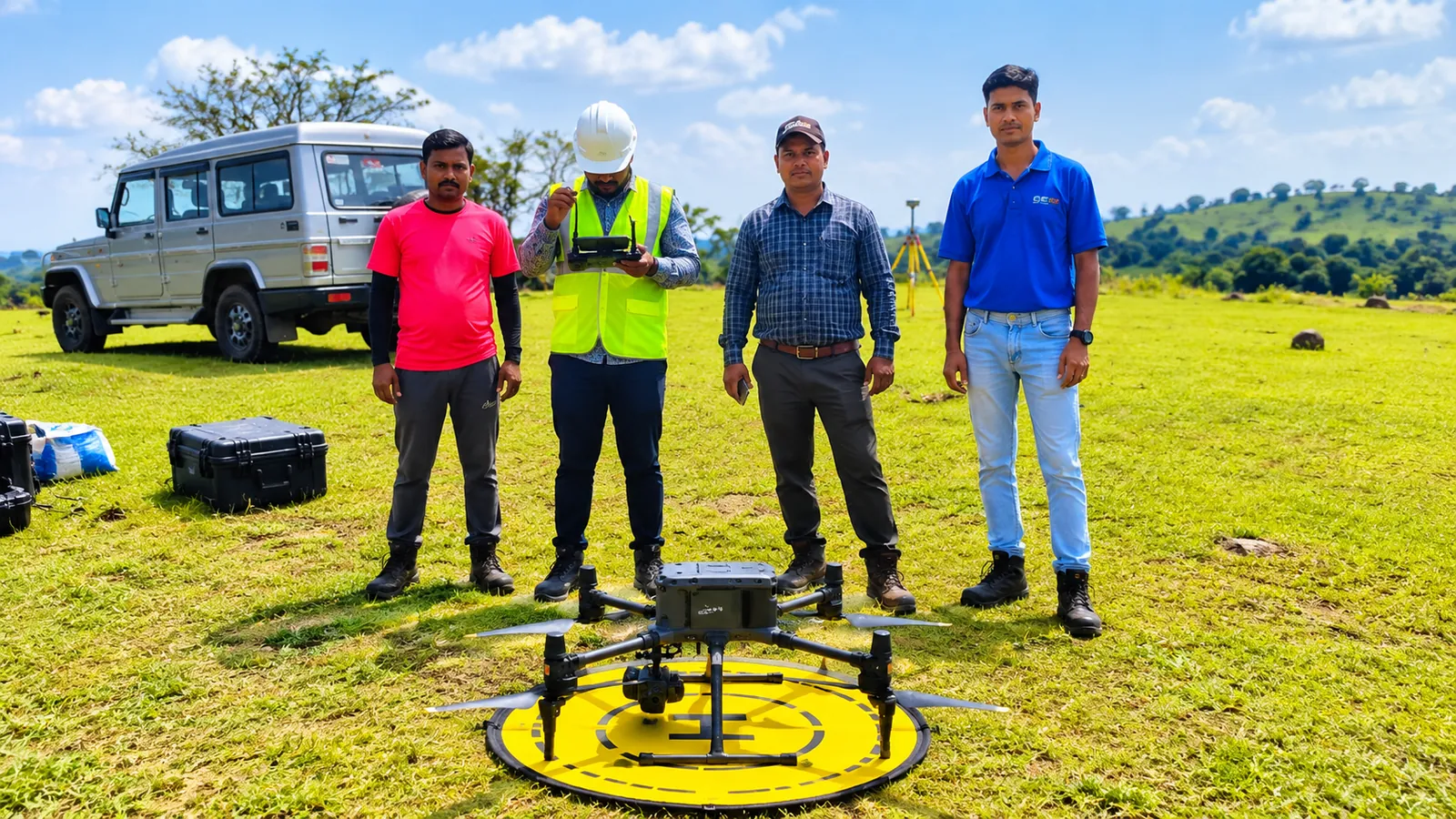
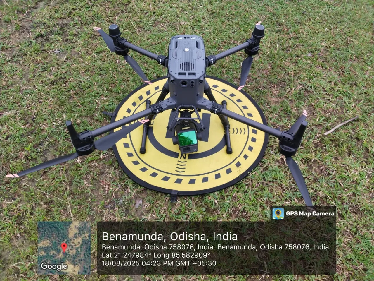
LiDAR drone surveying, DEM, DTM, contour maps, tree enumeration, 3D point clouds, photogrammetry and drone videography.
Explore service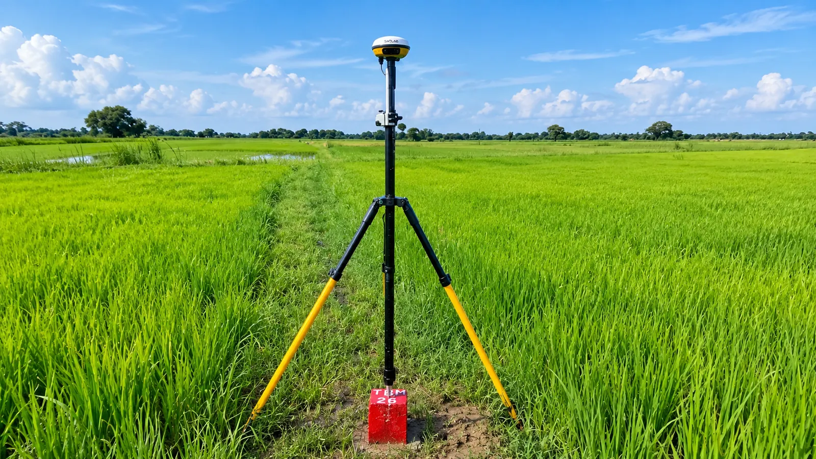
Topographical, RTK and total station surveys, traversing, static point observations, ROW, road, demarcation and forest surveys.
Explore service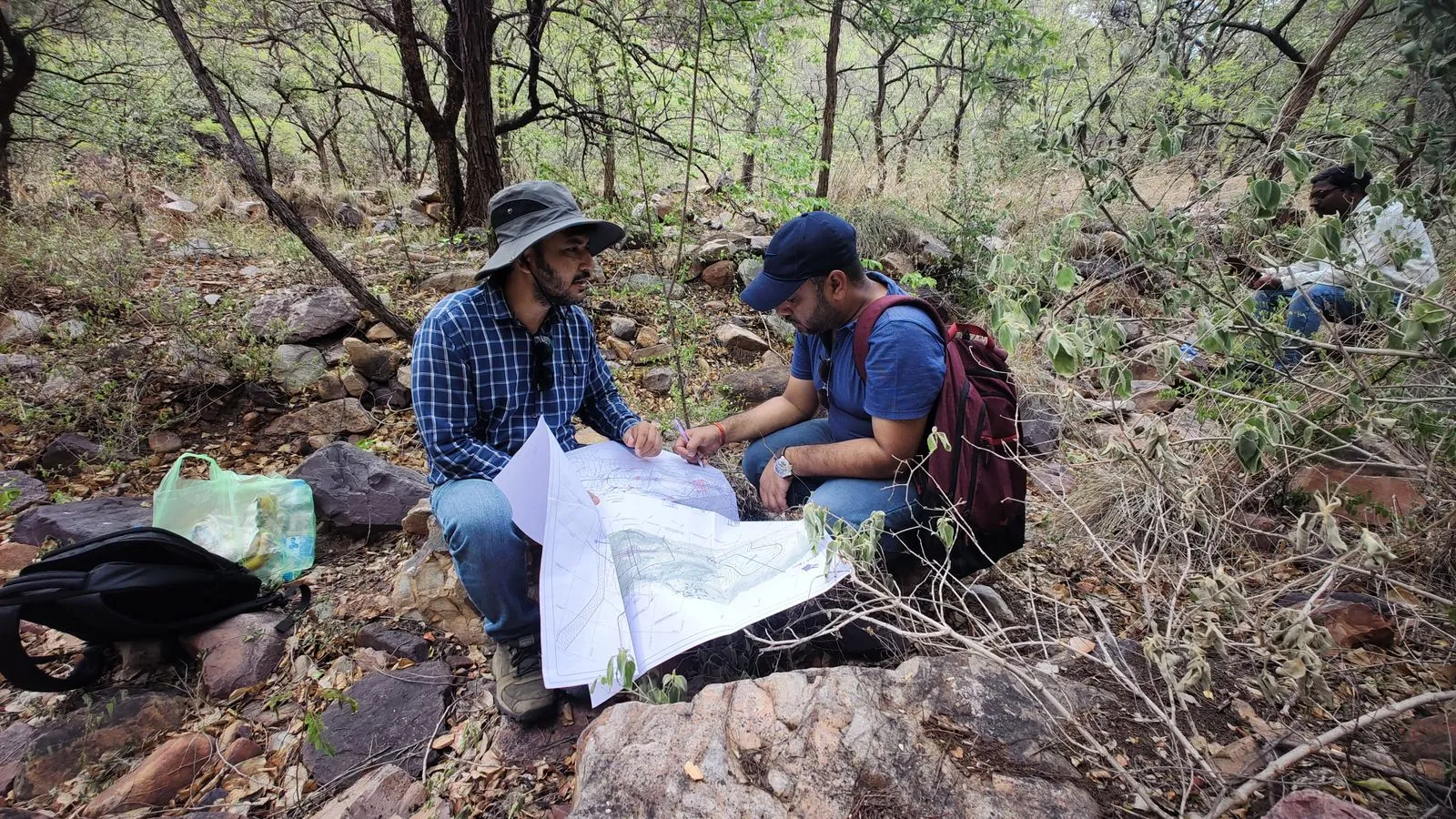
Advanced geological mapping and consultation, rock mass rating, Q classification, outcrop mapping, geological maps and cross-sections.
Explore service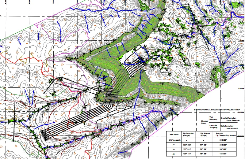
DPR preparation, feasibility and pre-feasibility studies, site visit reports, technical consultancy, BOQ preparation and engineering design support.
Explore service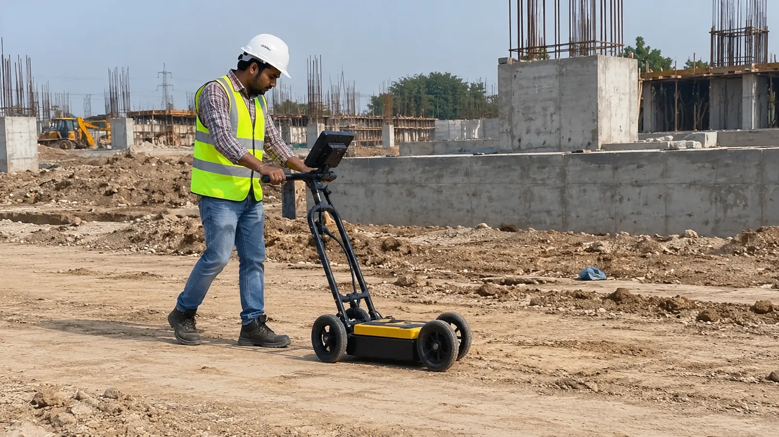
Utility detection, pipeline and cable mapping, underground structures, voids, concrete thickness and pavement investigation.
Explore service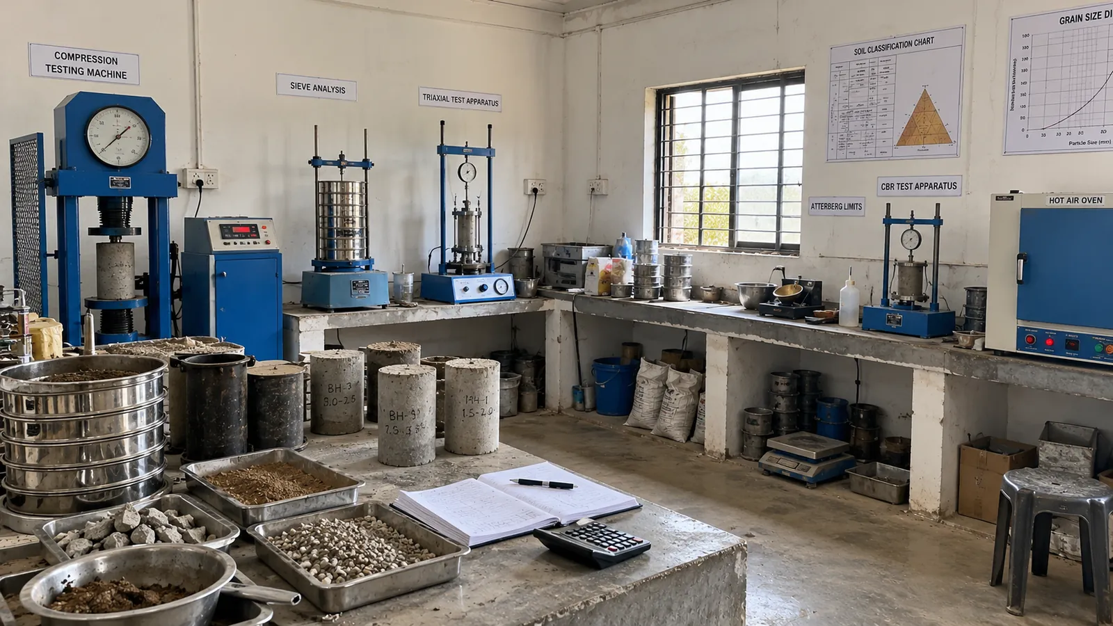
Soil, rock, aggregate and concrete testing: sieve analysis, Atterberg limits, CBR, UCS, direct shear, triaxial and permeability tests.
Explore service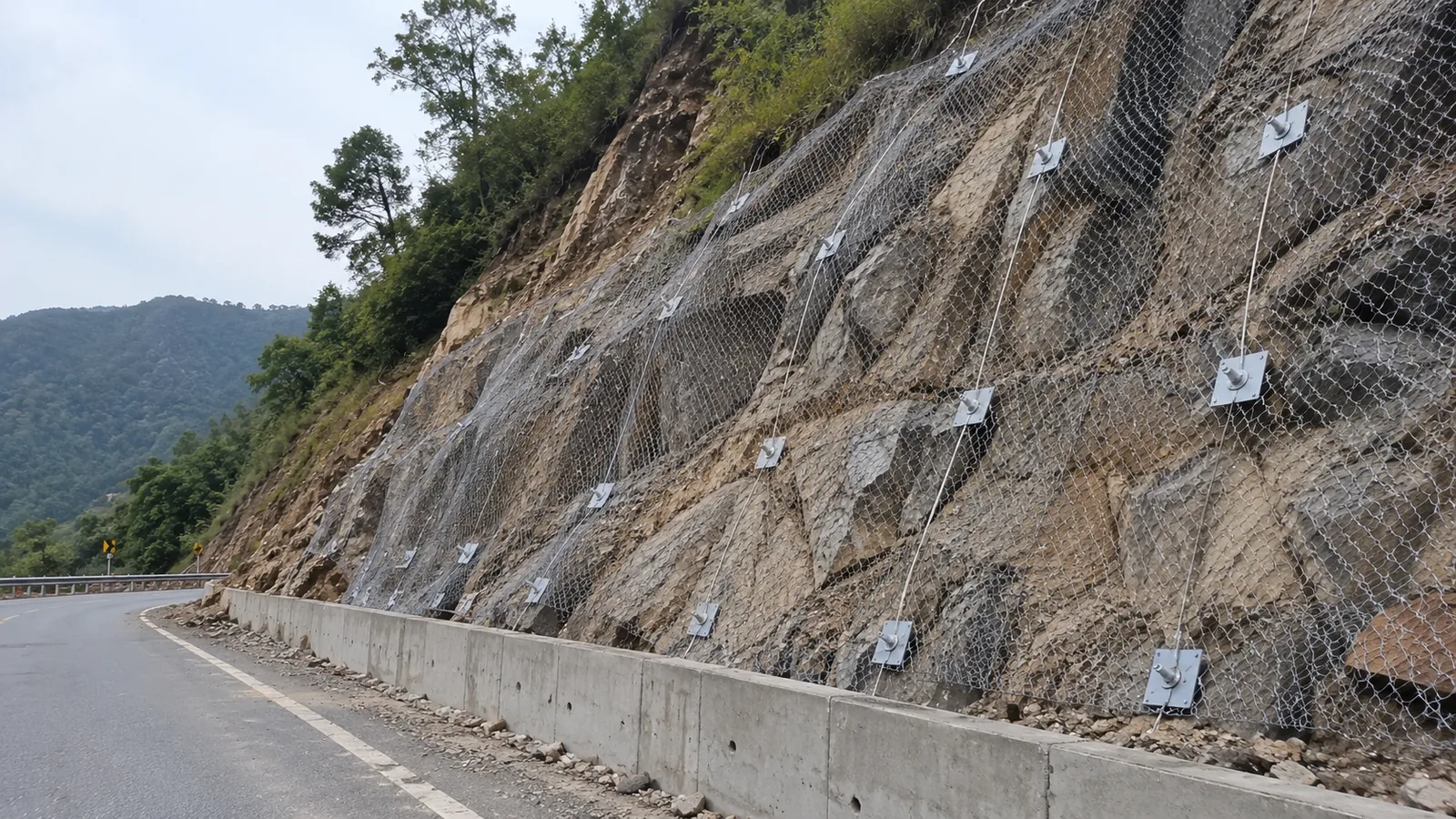
Landslide risk assessment, slope stability analysis, rockfall protection, retaining walls, rock bolting, shotcrete, soil nailing and drainage.
Explore service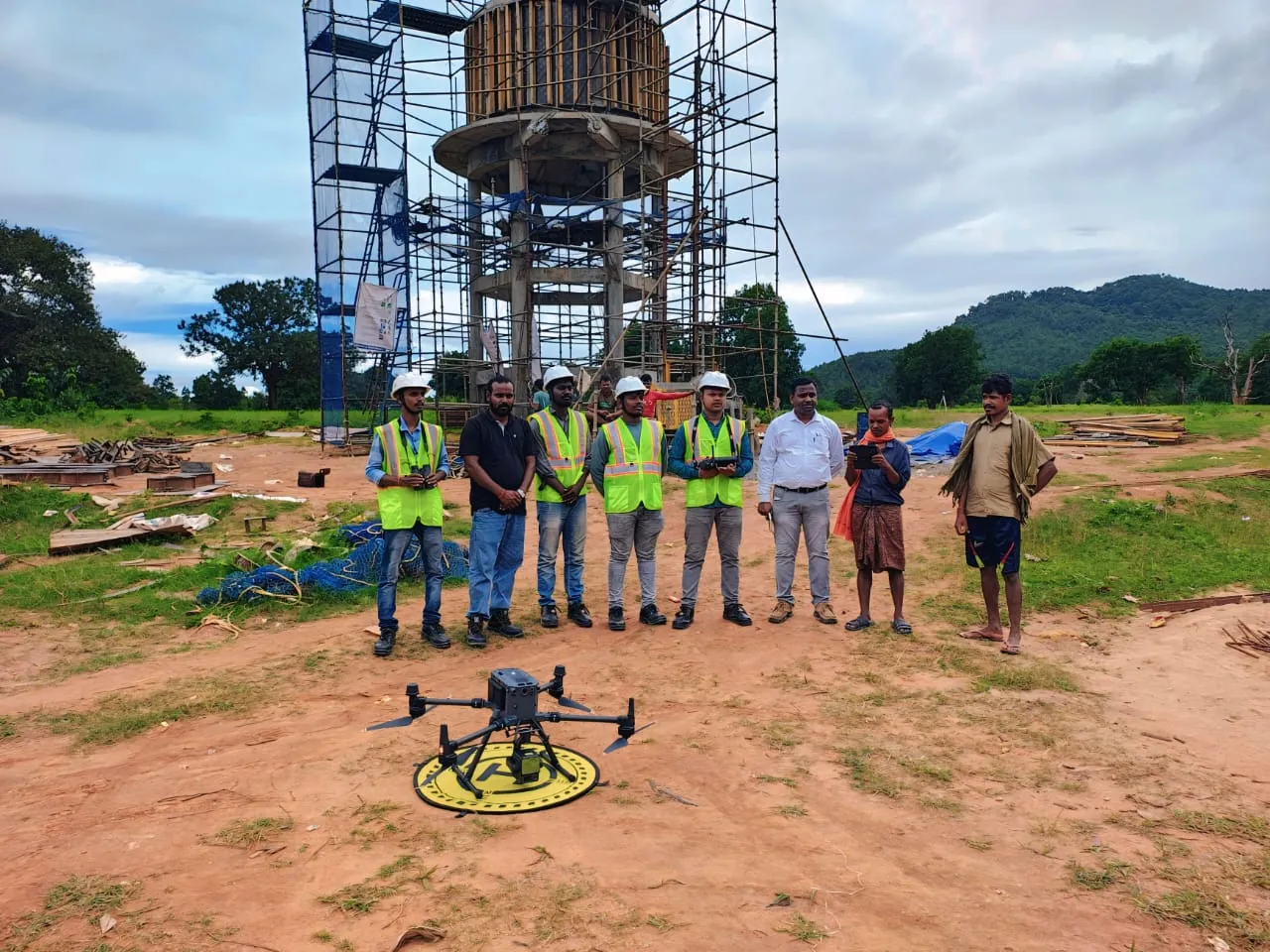
We don’t just collect data, we interpret it. Our geoscientists and engineers translate field measurements into clear, practical recommendations your design team can act on.
A structured four-stage process keeps every project transparent, on schedule and technically sound.
We begin with an in-depth discussion and, where needed, a site visit to understand your project requirements, constraints and objectives.
Our team designs a clear scope of work (methods, layout, schedule and deliverables) so everyone knows exactly what to expect.
Field crews deploy advanced equipment and proven methods to collect high-quality data safely, efficiently and on time.
Data is processed, cross-checked and interpreted by experts, then delivered as clear reports with ongoing support after submission.
We invest in field-proven instruments and software so our data is accurate, repeatable and delivered fast.
Survey-grade drones for point clouds, DTMs and orthomosaics.
RTK and static positioning for control networks and mapping.
High-accuracy detail, traverse and alignment surveys.
Multi-electrode systems for 2D subsurface imaging.
Multi-channel seismographs for velocity and Vs30 profiles.
Non-destructive scanning for utilities, voids and concrete.
Boreholes with SPT, CPT, sampling and core recovery.
Soil, rock, aggregate and concrete testing to IS codes.
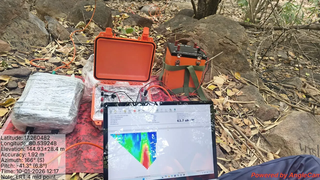
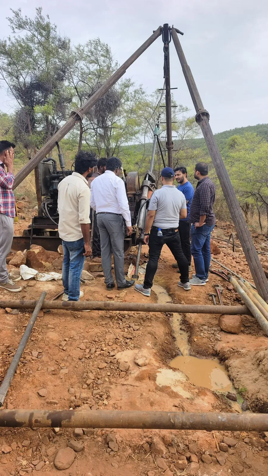
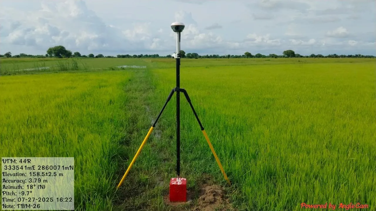
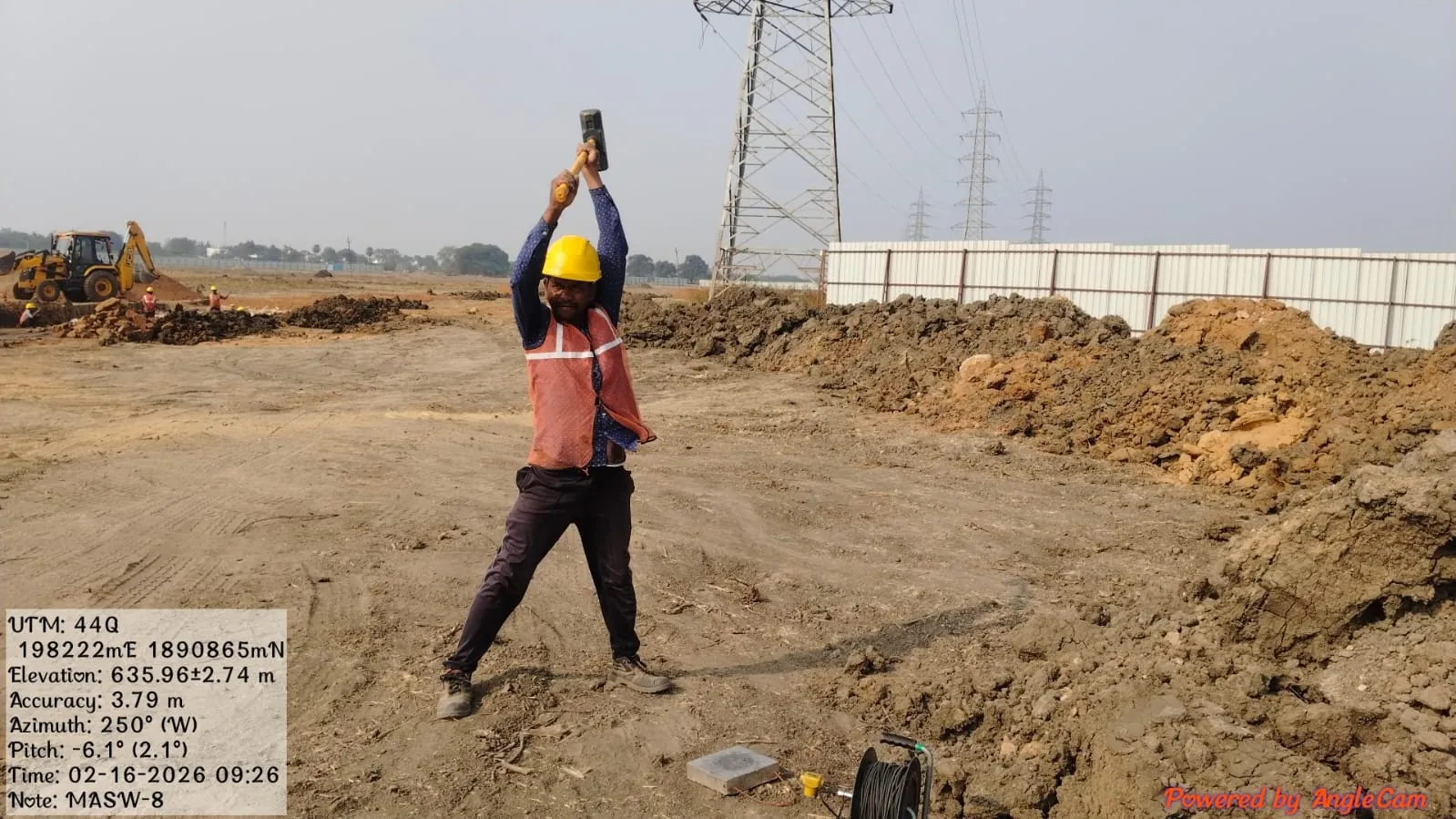
The unique features of our services, built on a commitment to quality and innovation.
We stay with you after delivery for clarifications, design reviews and follow-up work.
Disciplined planning and rapid mobilisation keep your project on schedule.
Multi-level checks on field data, processing and reporting before anything leaves our office.
Solutions shaped around your structure, budget and timelines, not a one-size template.
Geo Wings Engineering is a geotechnical investigation company and soil testing laboratory based in Ulwe, Navi Mumbai. We help engineers, contractors and developers understand the ground before they design, with borehole investigations and SPT, soil and rock testing, geophysical surveys including ERT, MASW and seismic refraction, GPR utility detection, LiDAR drone surveys and topographic and DGPS surveys.
Every report is prepared by qualified geologists, geophysicists and geotechnical engineers to the relevant Indian Standards, with clear recommendations your structural designer can use straight away.
We support a wide range of infrastructure projects including highways, railways, bridges, tunnels, dams and hydro-engineering works, industrial and urban developments, mining, and landslide-prone slopes. Our work covers geotechnical, geophysical, survey, LiDAR and geological studies.
Send us your project location, scope and timelines through the contact form, by email at contact@geowingseng.com, or call +91 98718 04288. We usually respond within one working day with questions or a proposal.
Our team consists of qualified geologists, geophysicists, surveyors and engineers with hands-on field experience in geoscience and civil engineering disciplines.
Yes. While we are headquartered in Navi Mumbai, our field teams mobilise to project sites across India.
Share your site location and scope. Our team will recommend the right investigation methods and send a detailed proposal.
Request a Free Consultation