
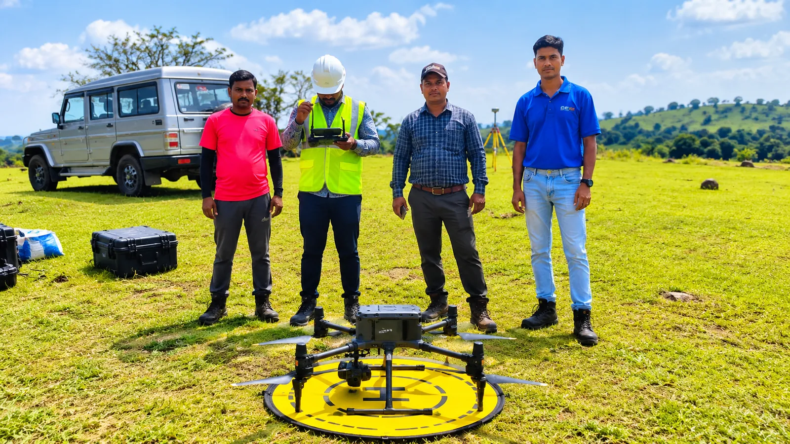
LiDAR Drone Survey that you can build on.
UAV LiDAR captures millions of precise ground points every second, even beneath vegetation, turning days of conventional fieldwork into hours. Combined with RTK-grade positioning and photogrammetry, it delivers survey-grade 3D data for planning and design.
Our drone missions are planned with ground control points and RTK/PPK corrections for accuracy. We process raw data into classified point clouds, terrain models and CAD-ready contours, and our pilots operate in line with DGCA drone rules.
Scope of services
Where it’s used
Linear infrastructure
Corridor mapping for roads, railways, canals and transmission lines.
Mining & quarries
Stockpile volumes, pit progress and terrain change detection.
Forest & land surveys
Canopy, tree enumeration and terrain under dense vegetation.
Urban & site planning
Base maps and 3D models for master planning and design.
What you receive
- Classified LiDAR point cloud (LAS/LAZ)
- DEM / DTM / DSM rasters
- Contour maps in CAD formats
- High-resolution orthomosaic imagery
- Survey report with accuracy statement
Need lidar drone survey for your project?
Tell us about your site and requirements. We’ll recommend the right approach and send a detailed proposal.
Request a Free Consultation