+91 98718 04288 contact@geowingseng.com 248F, Ulwe Sector 17, Navi Mumbai, Maharashtra
Home / Services

Services built on solid ground.

A comprehensive suite of services designed to meet the unique challenges of geoscience and infrastructure development, with innovative solutions that drive progress.

What we do

Nine disciplines. One team.

Choose a single service or combine several. Our integrated approach means geotechnical, geophysical and survey data all fit together.

Geotechnical Investigation
01 — GEOTECHNICAL INVESTIGATION

Geotechnical Investigation

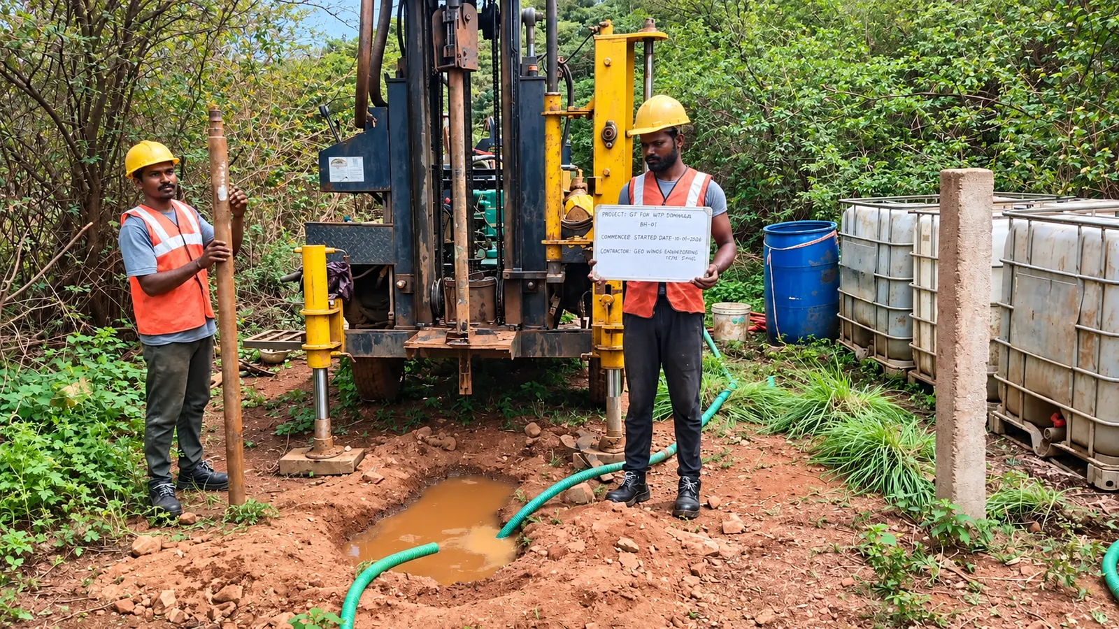
Every structure is only as reliable as the ground it stands on. Our geotechnical investigations characterise the subsurface through boreholes, in-situ testing and laboratory analysis, so your designers work from measured soil and rock parameters rather than assumptions.

Boreholes SPT CPT Sampling Groundwater
View Service Details
Geophysical Survey
02 — GEOPHYSICAL SURVEY

Geophysical Survey

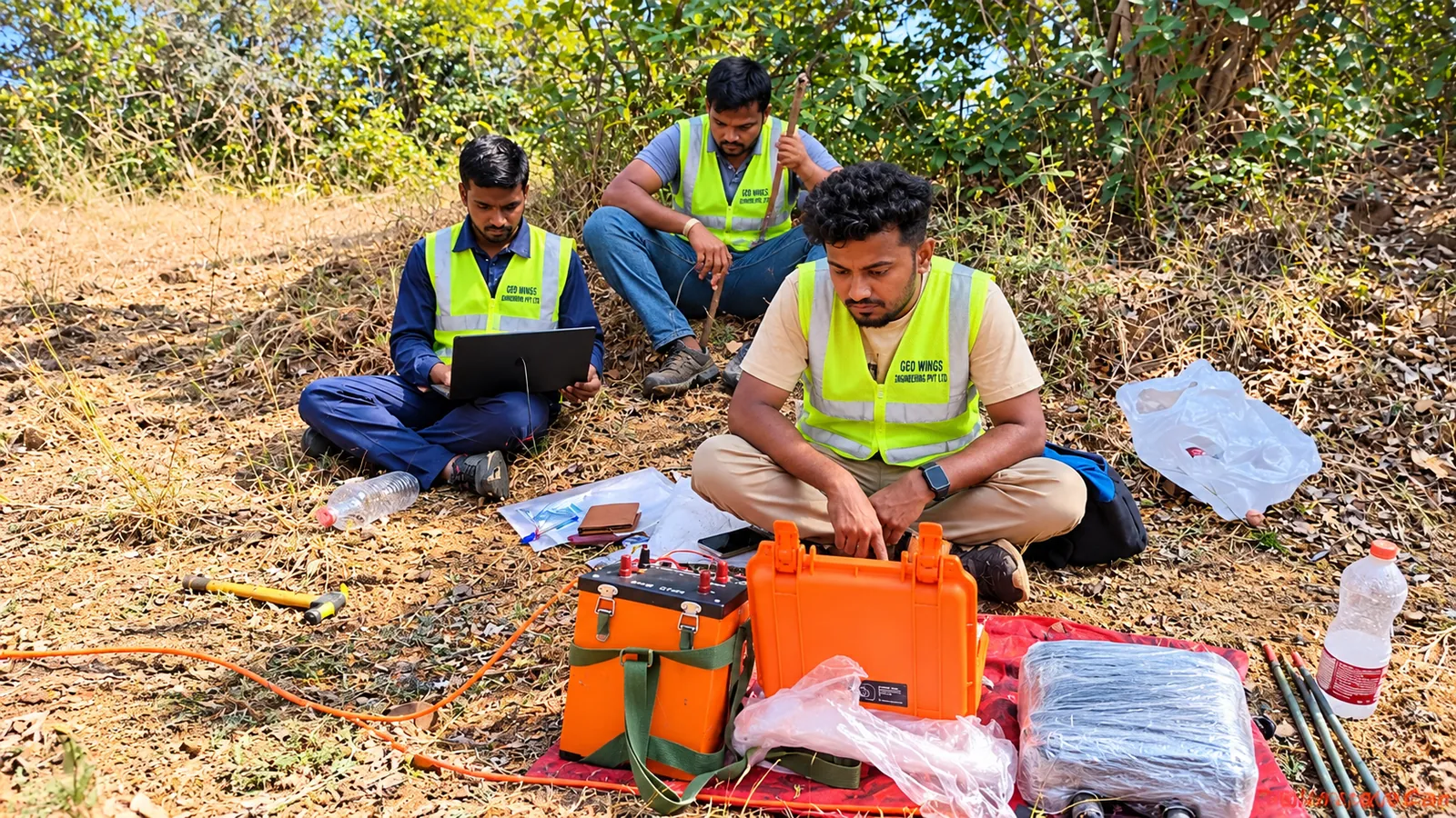
Geophysics lets us see beneath the surface without digging. By measuring how the ground conducts electricity and transmits seismic waves, we map bedrock, weak zones, water and cavities across an entire site, quickly and non-invasively.

ERT SRT MASW Crosshole VES
View Service Details
LiDAR Drone Survey
03 — LIDAR DRONE SURVEY

LiDAR Drone Survey

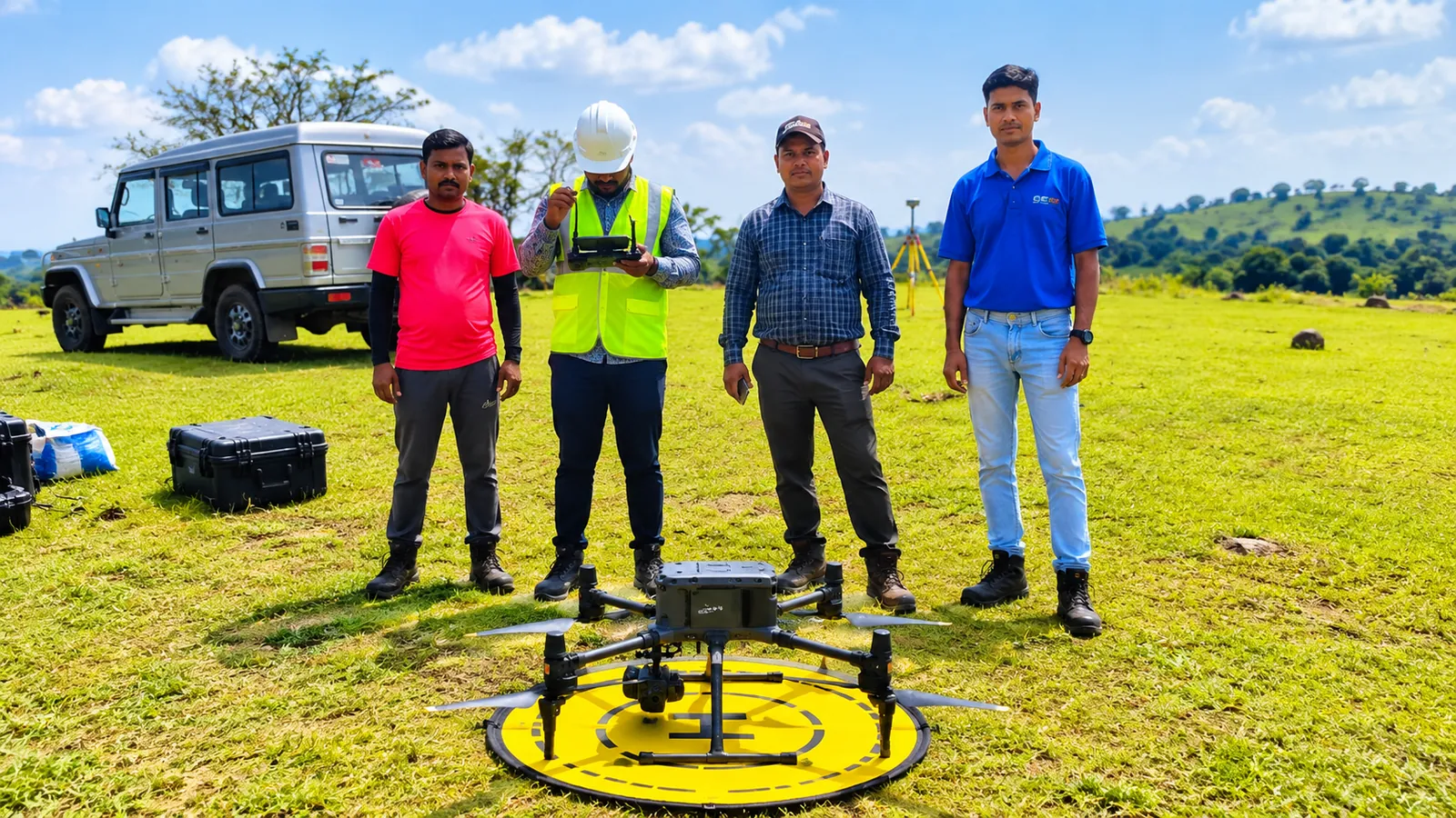
UAV LiDAR captures millions of precise ground points every second, even beneath vegetation, turning days of conventional fieldwork into hours. Combined with RTK-grade positioning and photogrammetry, it delivers survey-grade 3D data for planning and design.

UAV LiDAR DEM / DTM Point cloud Orthomosaic
View Service Details
Topographical Survey
04 — TOPOGRAPHICAL SURVEY

Topographical Survey

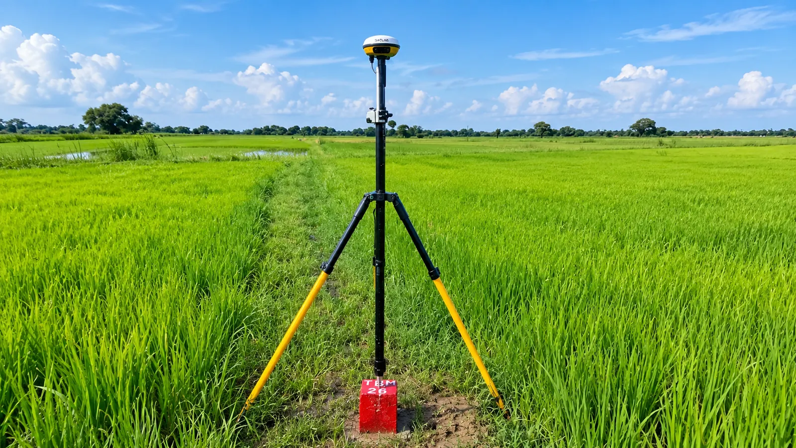
Accurate ground data is the starting point of every design. We combine GNSS/DGPS receivers and total stations to capture terrain, features and boundaries precisely, referenced to the coordinate system your project needs.

RTK DGPS Total station ROW Demarcation
View Service Details
Geological Mapping
05 — GEOLOGICAL MAPPING

Geological Mapping

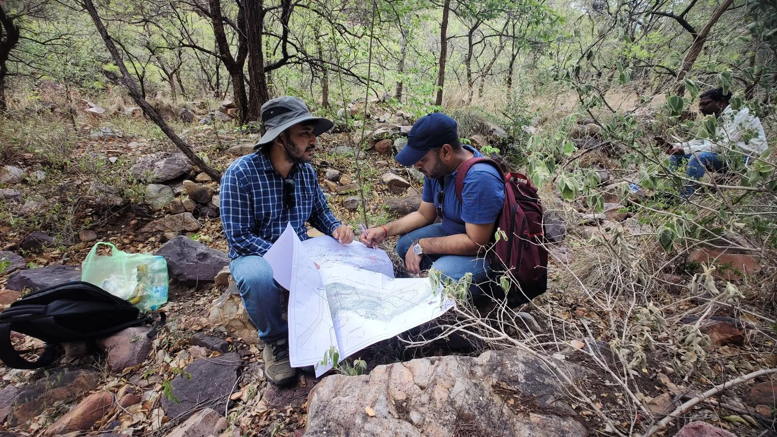
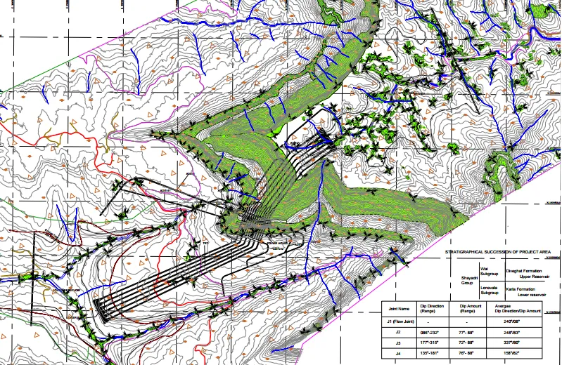
Understanding the rock and its structure is essential for tunnels, slopes, dams and foundations. Our geologists map outcrops and discontinuities in the field and classify the rock mass to support safe, economical design.

RMR Q-system Outcrop mapping Cross-sections
View Service Details
Design Consultation
06 — DESIGN CONSULTATION

Design Consultation

We turn field data into decisions. Our consultancy team helps clients plan, justify and design infrastructure projects, from early feasibility through to the Detailed Project Report and quantities.

DPR Feasibility BOQ Consultancy
View Service Details
Ground Penetrating Radar
07 — GROUND PENETRATING RADAR

Ground Penetrating Radar

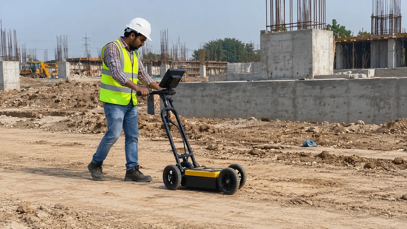
Ground Penetrating Radar (GPR) sends high-frequency pulses into the ground or concrete and records the reflections, revealing buried utilities, voids and structural details without excavation.

Utility mapping Void detection Concrete scanning
View Service Details
Material Testing Laboratory
08 — MATERIAL TESTING LABORATORY

Material Testing Laboratory

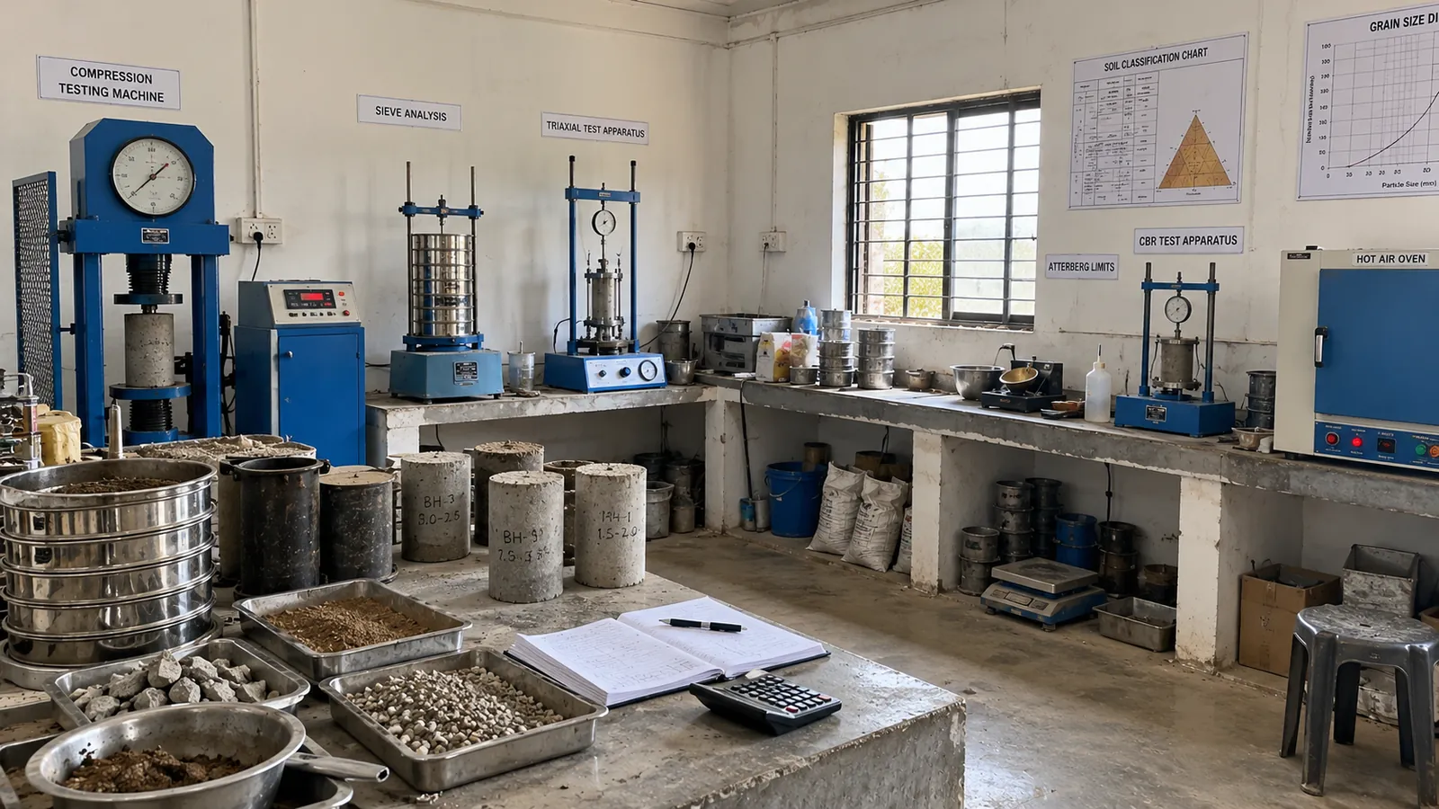
Reliable design needs reliable test results. Our laboratory tests soil, rock, aggregate and concrete samples to the relevant Indian Standard (IS) codes, giving designers the engineering parameters they need.

CBR UCS Triaxial Atterberg Permeability
View Service Details
Landslide Protection
09 — LANDSLIDE PROTECTION

Landslide Protection

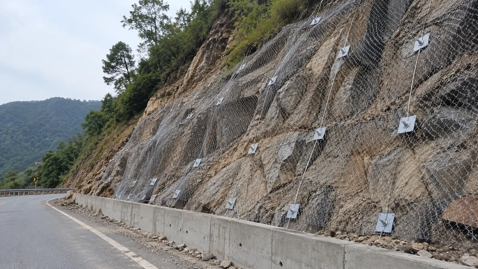
Unstable slopes threaten roads, railways and communities, especially in hilly terrain and during the monsoon. We assess landslide risk and design practical stabilisation measures that protect lives and infrastructure.

Slope stability Rockfall Soil nailing Shotcrete
View Service Details
Our process

How every project comes together.

Clear stages, clear communication and dependable delivery.

01

Initial Consultation

We begin with an in-depth discussion and, where needed, a site visit to understand your project requirements, constraints and objectives.

02

Project Planning

Our team designs a clear scope of work (methods, layout, schedule and deliverables) so everyone knows exactly what to expect.

03

Execution Phase

Field crews deploy advanced equipment and proven methods to collect high-quality data safely, efficiently and on time.

04

Quality Assurance & Review

Data is processed, cross-checked and interpreted by experts, then delivered as clear reports with ongoing support after submission.

Industries we serve

Where our data makes a difference.

Roads & Highways

Alignment surveys, subgrade investigation and slope protection.

Railways & Metro

Corridor mapping, utility detection and foundation studies.

Dams & Hydro

Foundation geology, seismic studies and material testing.

Tunnels

Rock mass classification and geophysical profiling.

Urban Development

Site investigation and GPR utility clearance.

Industrial & Power

Plant-site geotechnics and electrical resistivity.

Mining

LiDAR volumetrics and geological mapping.

Water Resources

Groundwater exploration and irrigation feasibility.

Start a project

Planning a project? Let’s understand the ground first.

Share your site location and scope. Our team will recommend the right investigation methods and send a detailed proposal.

Request a Free Consultation