
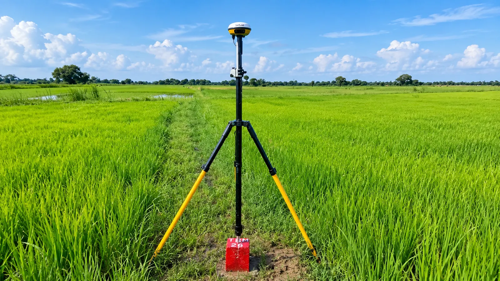
Topographical Survey that you can build on.
Accurate ground data is the starting point of every design. We combine GNSS/DGPS receivers and total stations to capture terrain, features and boundaries precisely, referenced to the coordinate system your project needs.
From establishing control networks with static GNSS observations to detailed total-station mapping, our surveyors deliver clean, verified data. Field data is processed and drafted in-house into drawings your engineers can use straight away.
Scope of services
Where it’s used
Roads & highways
Alignment, L-section and cross-section surveys for DPRs.
Railways & metros
Corridor and station-area surveys with control networks.
Industrial sites
Plot surveys, levelling and grading plans.
Forest & land records
Demarcation and forest-area surveys for clearances.
What you receive
- Topographic maps in AutoCAD (DWG/DXF)
- Control point descriptions & coordinates
- Longitudinal and cross-section drawings
- Spot levels and contour plans
- Field books and survey report
Need topographical survey for your project?
Tell us about your site and requirements. We’ll recommend the right approach and send a detailed proposal.
Request a Free Consultation