+91 98718 04288 contact@geowingseng.com 248F, Ulwe Sector 17, Navi Mumbai, Maharashtra
Home / Projects

Our projects.

Geotechnical investigation, geophysical surveys, drone LiDAR and topographic surveys delivered for infrastructure, industrial and real estate projects across India.

Selected work

Projects across India.

From borehole investigations and laboratory testing to ERT, MASW, GPR and drone LiDAR, here is the kind of work our teams deliver for infrastructure, real estate, industrial and energy clients.

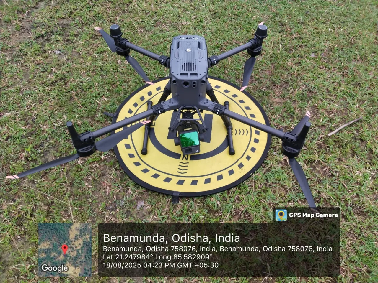
UAV LiDAR terrain mapping by Geo Wings EngineeringDrone & LiDAR
Odisha

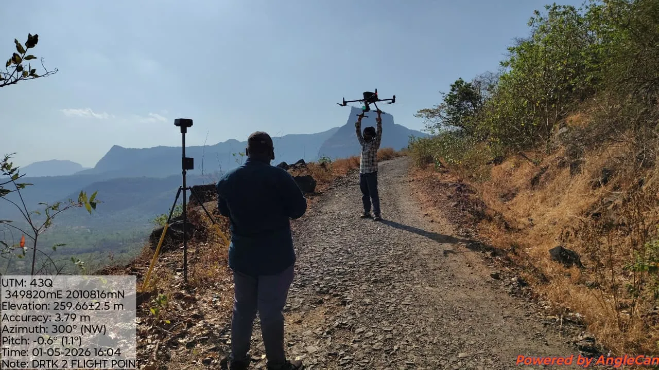
UAV LiDAR terrain mapping

Drone LiDAR mission to capture the bare-earth terrain of a large site for engineering design.

  • UAV LiDAR acquisition with GNSS ground control
  • Classified point cloud, DTM and DSM
  • Contours and cross-sections for design
View service
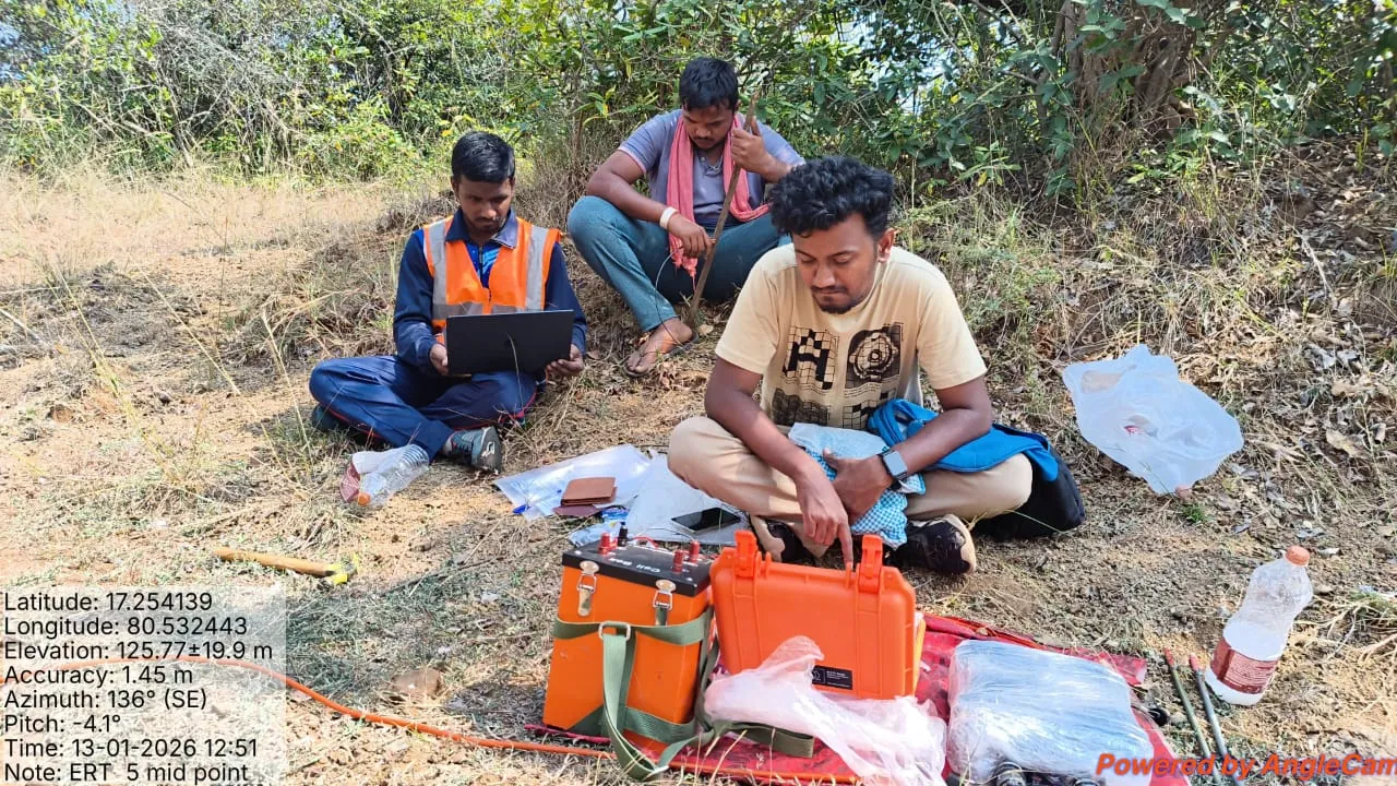
ERT subsurface imaging by Geo Wings EngineeringGeophysics
India

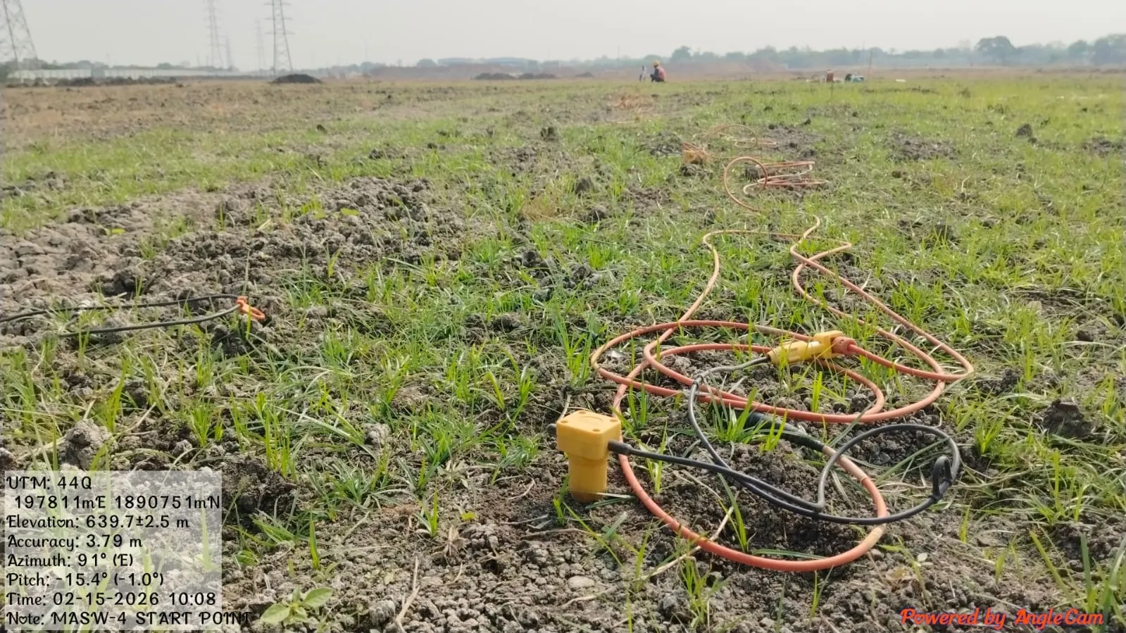
ERT subsurface imaging

Multi-electrode resistivity profiling to map soil, weathered rock and water-bearing zones between boreholes.

  • 2D ERT profiles with GNSS-surveyed electrodes
  • Inverted resistivity sections
  • Interpreted ground model and drilling targets
View service
GNSS control network by Geo Wings EngineeringSurvey
India

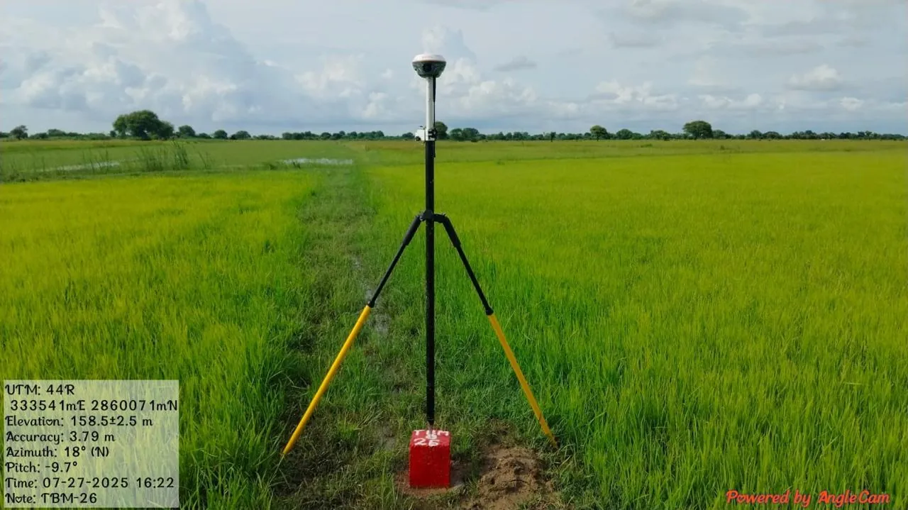
GNSS control network

Static GNSS observations to establish accurate control points for topographic and drone surveys.

  • Static and RTK GNSS observations
  • Control point monuments and descriptions
  • Coordinates in the project datum
View service
Soil, rock and material testing by Geo Wings EngineeringLaboratory
Navi Mumbai

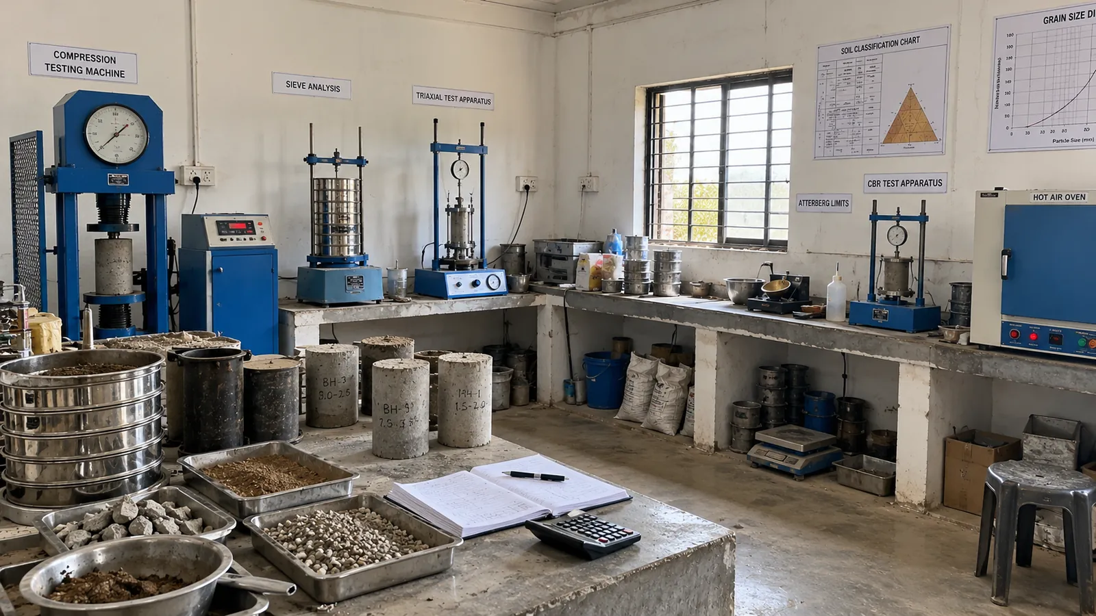
Soil, rock and material testing

Laboratory testing of soil, rock and aggregate samples to Indian Standards in our Ulwe laboratory.

  • Classification, shear strength and consolidation tests
  • Rock strength and point load tests
  • Test certificates and summary tables
View service
Sectors we serve

Ground data for every kind of infrastructure.

Our geotechnical, geophysical and survey teams support projects where the ground decides the design.

Highways & expresswaysAlignment surveys, cut-slope geology, culvert and bridge foundations.
Railways & metroCorridor LiDAR, utility detection, tunnel and viaduct investigations.
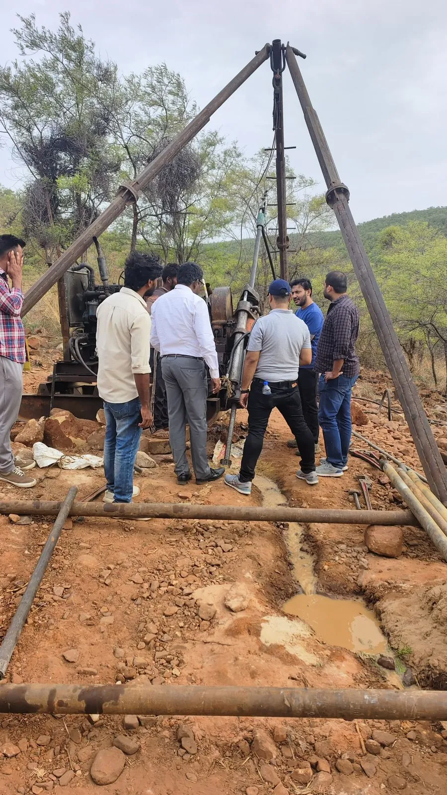
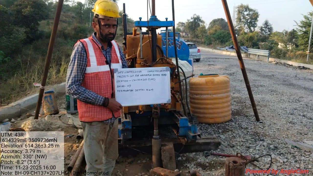
Bridges & flyoversBoreholes over land and water, rock coring and pile design inputs.
Dams, hydro & tunnelsERT and seismic surveys, geological mapping and rock testing.
Real estate & industrialSoil testing for buildings, plants, warehouses and basements.
Power & transmissionTower foundations, soil resistivity for earthing and route surveys.
Project FAQ

Planning a project with us.

How we scope, mobilise and deliver geotechnical and survey projects.

We support highways, railways and metro, bridges, dams and hydro projects, tunnels, real estate, industrial plants and power transmission with geotechnical investigation, geophysical surveys, drone LiDAR and topographic surveys.

Our office and laboratory are in Ulwe, Navi Mumbai. Our field teams mobilise to Mumbai, Thane, Raigad, Pune and project sites across Maharashtra and the rest of India.

Yes. Most projects combine boreholes and laboratory testing with geophysics such as ERT or MASW, and a drone or GNSS survey, so the ground model is complete and consistent.

Mobilisation depends on location and scope, but we plan field work quickly after the scope is agreed. Share your site location and timeline and we will confirm a programme with the proposal.

Send the site location, a layout or KMZ if available, the proposed structure and your timeline through the contact page or by phone. We reply within one working day.

Start a project

Planning a project? Let’s understand the ground first.

Share your site location and scope. Our team will recommend the right investigation methods and send a detailed proposal.

Request a Free Consultation